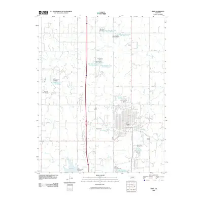
2009 Map of Perry
USGS Topo · Published 2009About this map
Perry serves as the central hub of this Noble County landscape, where the grid of a growing Oklahoma community meets a complex network of water management sites. The surrounding countryside is defined by an extensive system of reservoirs along Black Bear Creek and its tributaries, including specialized engineering projects like Upper Black Bear Creek Site 60 Reservoir and Upper Black Bear Creek Site 64 Reservoir. These numerous catchment areas reflect a sophisticated approach to prairie hydrology and flood control.
Find a feature on this map
49 named features on this map. Tap any name to fly to it.
Don’t see what you’re looking for? This feature index may not catch every label — zoom into the map to look around manually.
Map Details
Editions of this 2009 Perry Map
This is the sole edition of this map. No revisions or reprints were ever made.
Other maps of this area

1893 · Mulhall
USGS Topo · 1:62,500

1893 · Stillwater
USGS Topo · 1:62,500

1955 · Enid
USGS Topo · 1:250,000

1958 · Enid
USGS Topo · 1:250,000

1966 · Lake Carl Blackwell
USGS Topo · 1:24,000

1972 · Perry NW
USGS Topo · 1:24,000

1972 · Red Rock
USGS Topo · 1:24,000

1972 · Ceres
USGS Topo · 1:24,000

1972 · Perry
USGS Topo · 1:24,000

1972 · Lucien
USGS Topo · 1:24,000