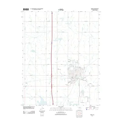
2012 Map of Perry
USGS Topo · Published 2012About this map
The city of Perry serves as a significant regional hub in Noble County, defined by its grid of streets and key industrial landmarks like the Ditch Witch Airport. This survey reveals a landscape heavily managed for water resources, featuring numerous numbered reservoirs such as Upper Black Bear Cr Site 16 Reservoir and Upper Black Bear Cr Site 60 Reservoir along the winding path of Black Bear Cr. For those tracing local heritage, the map identifies the locations of Mt Carmel Cem and Grace Hill Cem on the outskirts of the settlement. To the west, the small community of Gansel sits along the rail line, while the southern reaches are dominated by Lake Perry and Perry Lake, illustrating the transition from the organized town center to the surrounding agricultural and recreational lands.
Find a feature on this map
76 named features on this map. Tap any name to fly to it.
Don’t see what you’re looking for? This feature index may not catch every label — zoom into the map to look around manually.
Map Details
Editions of this 2012 Perry Map
This is the sole edition of this map. No revisions or reprints were ever made.
Other maps of this area

1893 · Mulhall
USGS Topo · 1:62,500

1893 · Stillwater
USGS Topo · 1:62,500

1955 · Enid
USGS Topo · 1:250,000

1958 · Enid
USGS Topo · 1:250,000

1966 · Lake Carl Blackwell
USGS Topo · 1:24,000

1972 · Perry NW
USGS Topo · 1:24,000

1972 · Red Rock
USGS Topo · 1:24,000

1972 · Ceres
USGS Topo · 1:24,000

1972 · Perry
USGS Topo · 1:24,000

1972 · Lucien
USGS Topo · 1:24,000