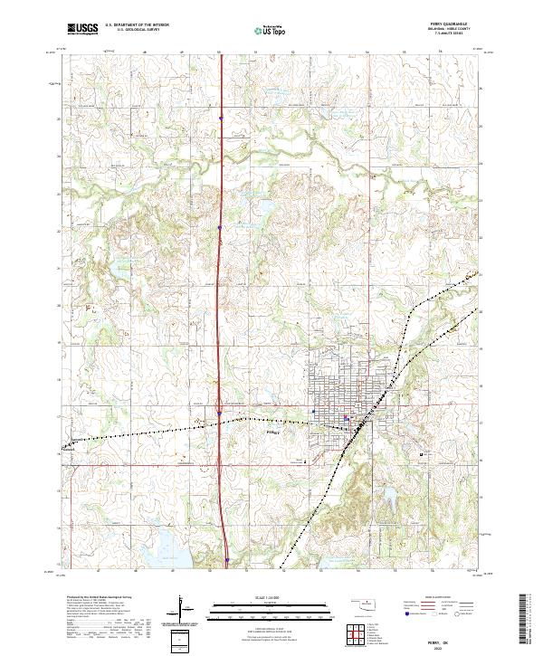
2022 Map of Perry
USGS Topo · Published 2022About this map
Perry serves as the focal point of this Noble County survey, situated at the intersection of critical Oklahoma transport corridors. The town's grid is anchored by the Noble County Courthouse and radiates outward to residential streets such as Noble St and Maple St, while the BNSF Railway tracks and the modern John Wayne Blvd corridor facilitate regional connectivity. To the west, the settlement of Gansel marks a quieter rural outpost along the rail line.
Find a feature on this map
100 named features on this map. Tap any name to fly to it.
Don’t see what you’re looking for? This feature index may not catch every label — zoom into the map to look around manually.
Map Details
Editions of this 2022 Perry Map
This is the sole edition of this map. No revisions or reprints were ever made.
Other maps of this area

1893 · Mulhall
USGS Topo · 1:62,500

1893 · Stillwater
USGS Topo · 1:62,500

1955 · Enid
USGS Topo · 1:250,000

1958 · Enid
USGS Topo · 1:250,000

1966 · Lake Carl Blackwell
USGS Topo · 1:24,000

1972 · Perry NW
USGS Topo · 1:24,000

1972 · Red Rock
USGS Topo · 1:24,000

1972 · Ceres
USGS Topo · 1:24,000

1972 · Perry
USGS Topo · 1:24,000

1972 · Lucien
USGS Topo · 1:24,000