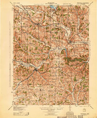
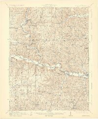
1944 Map of Perrysville
USGS Topo · Published 1944About this map
Perrysville and Butler anchor this mid-century survey of the north-central Ohio landscape, where the Mohican River and its various forks dictate the pattern of settlement. The newly established Pleasant Hill Reservoir appears as a dominant water feature, altering the natural course of the Clear Fork. Rural infrastructure is exceptionally dense, preserved here through a network of small schoolhouses like Maple Grove Sch, Knotty Oak Sch, and Sugar Grove Sch that once served the scattered farming communities of Richland, Ashland, and Knox counties.
Find a feature on this map
77 named features on this map. Tap any name to fly to it.
Don’t see what you’re looking for? This feature index may not catch every label — zoom into the map to look around manually.
Map Details
Editions of this 1944 Perrysville Map
This is the sole edition of this map. No revisions or reprints were ever made.
Other maps of this area
1906 · West Salem
USGS Topo · 1:62,500
1908 · Ashland
USGS Topo · 1:62,500
1908 · West Salem
USGS Topo · 1:62,500
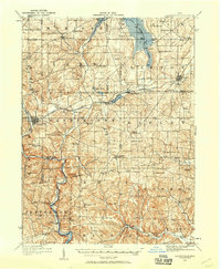
1912 · Loudonville
USGS Topo · 1:62,500

1912 · Gambier
USGS Topo · 1:62,500
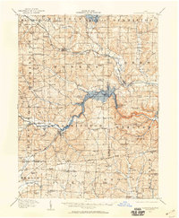
1912 · Perrysville
USGS Topo · 1:62,500
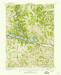
1913 · Brinkhaven
USGS Topo · 1:62,500

1914 · Gambier
USGS Topo · 1:62,500
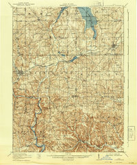
1914 · Loudonville
USGS Topo · 1:62,500
1915 · Brinkhaven
USGS Topo · 1:62,500