
1957 Map of Perryville
USGS Topo · Published 1958About this map
Agricultural development and irrigation infrastructure define this corner of the Salt River Valley during the late 1950s. The small settlement of Perryville sits along a grid of section roads, surrounded by an extensive network of wells and reservoirs that supported the area's desert farming economy. To the north, the label McMicken identifies a localized hub near a large reservoir and labor camps, reflecting the seasonal workforce patterns of mid-century Arizona agriculture. The landscape is marked by the engineering of the Gila River corridor and several major water conduits, providing a detailed look at how water management shaped local land use before the expansion of the Phoenix metropolitan area. Evidence of the region’s military presence is visible through the corner of a proving ground and an auxiliary field, highlighting the strategic utility of this open terrain during the Cold War era.
Find a feature on this map
2 named features on this map. Tap any name to fly to it.
Don’t see what you’re looking for? This feature index may not catch every label — zoom into the map to look around manually.
Map Details
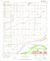
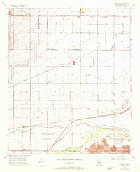
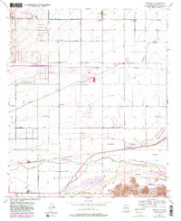
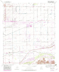
Editions of this 1957 Perryville Map
5 editions found
Other maps of this area

1946 · Avondale
USGS Topo · 1:62,500

1948 · Cashion
USGS Topo · 1:62,500

1954 · Phoenix
USGS Topo · 1:250,000

1957 · Phoenix
USGS Topo · 1:250,000

1957 · White Tank Mts. SE
USGS Topo · 1:24,000

1957 · Valencia
USGS Topo · 1:24,000

1957 · El Mirage
USGS Topo · 1:24,000

1957 · Waddell
USGS Topo · 1:24,000

1957 · Tolleson
USGS Topo · 1:24,000

1957 · Avondale SW
USGS Topo · 1:24,000