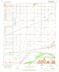
1957 Map of Perryville
USGS Topo · Published 1966About this map
Perryville and the Buckeye Valley landscape are defined by a complex irrigation network and military installations during the mid-century era. The agricultural life of this Arizona corridor is anchored by the Roosevelt Canal and the Indian School Road Canal, which feed a grid of reservoirs across the flat terrain north of the Gila River. Significant land use is dedicated to defense and testing, including the White Tanks Proving Grounds in the northwest and aviation sites such as Luke Air Force Auxiliary Field No 6. In the south, the Southern Pacific railroad passes through Liberty (Siding) near the town of Liberty. This survey captures the transition from open desert and mountains, like those found in Estrella Mountain County Park, to an organized valley of roads and canals.
Find a feature on this map
36 named features on this map. Tap any name to fly to it.
Don’t see what you’re looking for? This feature index may not catch every label — zoom into the map to look around manually.
Map Details
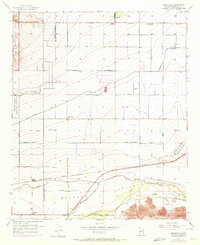
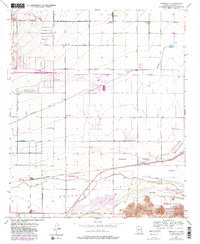
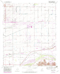
Editions of this 1957 Perryville Map
5 editions found
Other maps of this area

1946 · Avondale
USGS Topo · 1:62,500

1948 · Cashion
USGS Topo · 1:62,500

1954 · Phoenix
USGS Topo · 1:250,000

1957 · Phoenix
USGS Topo · 1:250,000

1957 · White Tank Mts. SE
USGS Topo · 1:24,000

1957 · Valencia
USGS Topo · 1:24,000

1957 · Perryville
USGS Topo · 1:24,000

1957 · El Mirage
USGS Topo · 1:24,000

1957 · Waddell
USGS Topo · 1:24,000

1957 · Tolleson
USGS Topo · 1:24,000