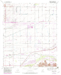
1957 Map of Perryville
USGS Topo · Published 1983About this map
Agricultural development and industrial planning define this mid-century view of the Buckeye Valley. The map shows a landscape transitioning between established rail-side settlements like Liberty and Perryville and the burgeoning aviation and automotive infrastructure of the post-war era. Of particular interest is the Phoenix Trotting Park, noted as being under construction in the purple-revising phase, alongside its adjacent parking lot and trailer park.
Find a feature on this map
45 named features on this map. Tap any name to fly to it.
Don’t see what you’re looking for? This feature index may not catch every label — zoom into the map to look around manually.
Map Details
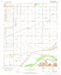
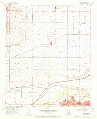
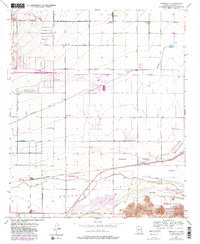
Editions of this 1957 Perryville Map
5 editions found
Other maps of this area

1946 · Avondale
USGS Topo · 1:62,500

1948 · Cashion
USGS Topo · 1:62,500

1954 · Phoenix
USGS Topo · 1:250,000

1957 · Phoenix
USGS Topo · 1:250,000

1957 · White Tank Mts. SE
USGS Topo · 1:24,000

1957 · Valencia
USGS Topo · 1:24,000

1957 · Perryville
USGS Topo · 1:24,000

1957 · El Mirage
USGS Topo · 1:24,000

1957 · Waddell
USGS Topo · 1:24,000

1957 · Tolleson
USGS Topo · 1:24,000