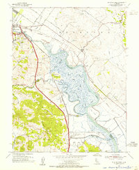
1954 Map of Petaluma Creek
USGS Topo · Published 1955About this map
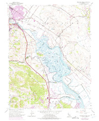
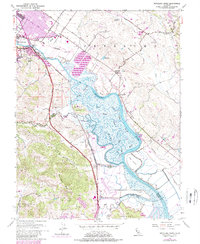
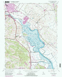
The winding Petaluma Creek and its complex network of tidal wetlands define this mid-century survey of the Sonoma and Marin border. While the city of Petaluma anchors the northwestern corner, much of the landscape is dominated by the reclaimed marshes of the Petaluma Valley, where an intricate system of levees protects agricultural land. The Northwestern Pacific railroad corridor follows the valley floor, passing through small stops and settlements like McNear, Haystack, and Burdell. In the upland areas, prominent landmarks such as Burdell Mtn and the Petaluma Mts rise above the alluvial plain. The map captures a moment when traditional land uses, represented by numerous windmills and the Lakeville School, coexist with newer developments like the Marin County Airport. The dense web of named waterways, including Schultz, Mud, and Black John Slough, provides a detailed record of the historic estuarine environment.
Find a feature on this map
43 named features on this map. Tap any name to fly to it.
Don’t see what you’re looking for? This feature index may not catch every label — zoom into the map to look around manually.
Map Details
Editions of this 1954 Petaluma Creek Map
7 editions found
Other maps of this area

1902 · Napa
USGS Topo · 1:125,000

1914 · Petaluma
USGS Topo · 1:62,500

1916 · Mare Island
USGS Topo · 1:62,500

1916 · Santa Rosa
USGS Topo · 1:62,500

1942 · Mare Island
USGS Topo · 1:62,500

1942 · Sonoma
USGS Topo · 1:62,500

1942 · Petaluma
USGS Topo · 1:62,500

1944 · Santa Rosa
USGS Topo · 1:62,500

1947 · Santa Rosa
USGS Topo · 1:250,000

1949 · Santa Rosa
USGS Topo · 1:250,000