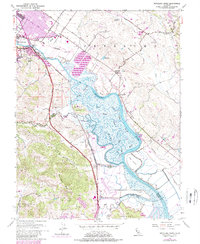
1954 Map of Petaluma River
USGS Topo · Published 1980About this map
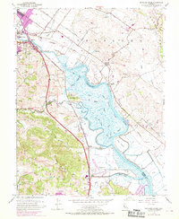
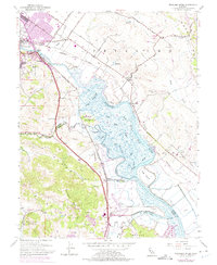
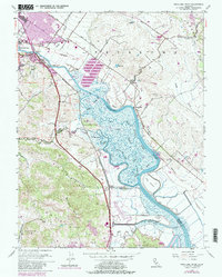
The Petaluma River serves as the central artery for this mid-century landscape, winding through a complex network of marshes and sloughs between the Sonoma Mts and Burdell Mtn. Along its western banks, the Northwestern Pacific railroad corridor connects the industrial and agricultural hub of Petaluma with southern outposts like McNear and Haystack. The map records a critical interface of land and water, where tidal channels like Schultz Slough and Donahue Slough define landforms such as Neils Island and Hog Island. While the northern reaches show urban expansion around the Petaluma city boundary, the southern section remains dominated by tidal flats and specialized features like Gnoss Field and the Lakeville Sch. This survey documents the era before modern development intensified, preserving the locations of local landmarks such as the Rock Quarry and the historic San Antonio Grant Bdy.
Find a feature on this map
42 named features on this map. Tap any name to fly to it.
Don’t see what you’re looking for? This feature index may not catch every label — zoom into the map to look around manually.
Map Details
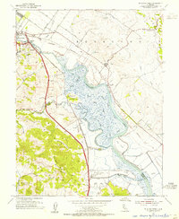
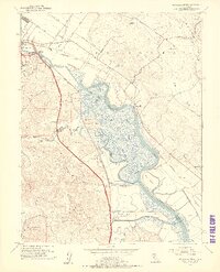
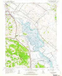
Editions of this 1954 Petaluma River Map
7 editions found
Other maps of this area

1902 · Napa
USGS Topo · 1:125,000

1914 · Petaluma
USGS Topo · 1:62,500

1916 · Mare Island
USGS Topo · 1:62,500

1916 · Santa Rosa
USGS Topo · 1:62,500

1942 · Mare Island
USGS Topo · 1:62,500

1942 · Sonoma
USGS Topo · 1:62,500

1942 · Petaluma
USGS Topo · 1:62,500

1944 · Santa Rosa
USGS Topo · 1:62,500

1947 · Santa Rosa
USGS Topo · 1:250,000

1949 · Santa Rosa
USGS Topo · 1:250,000