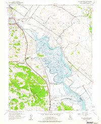
1954 Map of Petaluma River
USGS Topo · Published 1962About this map
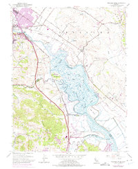
Petaluma and the surrounding marshlands of the Petaluma River are documented here in the mid-1950s, showing a landscape defined by tidewater sloughs and rail infrastructure. The Northwestern Pacific railroad corridor parallels the river, connecting riverside stations like Haystack and McNear to the urban core. To the east, the terrain transitions into the steep slopes of Burdell Mtn and the rolling hills above Lakeville.
Find a feature on this map
50 named features on this map. Tap any name to fly to it.
Don’t see what you’re looking for? This feature index may not catch every label — zoom into the map to look around manually.
Map Details
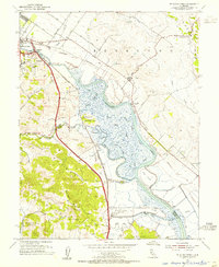
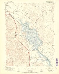
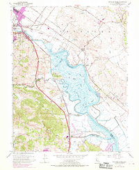
Editions of this 1954 Petaluma River Map
7 editions found
Other maps of this area

1902 · Napa
USGS Topo · 1:125,000

1914 · Petaluma
USGS Topo · 1:62,500

1916 · Mare Island
USGS Topo · 1:62,500

1916 · Santa Rosa
USGS Topo · 1:62,500

1942 · Mare Island
USGS Topo · 1:62,500

1942 · Sonoma
USGS Topo · 1:62,500

1942 · Petaluma
USGS Topo · 1:62,500

1944 · Santa Rosa
USGS Topo · 1:62,500

1947 · Santa Rosa
USGS Topo · 1:250,000

1949 · Santa Rosa
USGS Topo · 1:250,000