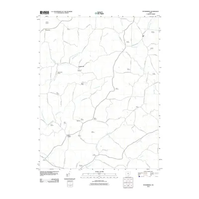
2010 Map of Petersburg
USGS Topo · Published 2010About this map
Petersburg and Grahamsville anchor this southern Ohio landscape, where the terrain is deeply etched by a network of hollows and ridges. Waterways like Bucklick Creek and the Holland Fork wind through the hills, creating a topography defined by distinct landforms such as Pigeonroost Hollow and Riegel Ridge. The map reveals a highly dispersed settlement pattern, with smaller crossroads like Mabee Corner and McCoy serving as local focal points between the larger creek valleys.
Find a feature on this map
83 named features on this map. Tap any name to fly to it.
Don’t see what you’re looking for? This feature index may not catch every label — zoom into the map to look around manually.
Map Details
Editions of this 2010 Petersburg Map
This is the sole edition of this map. No revisions or reprints were ever made.
Other maps of this area

1906 · Waverly
USGS Topo · 1:62,500

1908 · Waverly
USGS Topo · 1:62,500

1911 · Sciotoville
USGS Topo · 1:62,500

1912 · Oak Hill
USGS Topo · 1:62,500

1913 · Sciotoville
USGS Topo · 1:62,500

1913 · Jackson
USGS Topo · 1:62,500

1944 · Jackson
USGS Topo · 1:62,500

1947 · Columbus
USGS Topo · 1:250,000

1957 · Huntington
USGS Topo · 1:250,000

1960 · Huntington
USGS Topo · 1:250,000