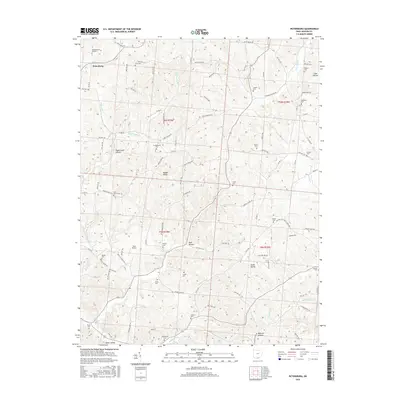
2016 Map of Petersburg
USGS Topo · Published 2016About this map
Petersburg anchors this section of Jackson County, where the landscape is defined by the sharp transition between high elevations like Riegel Ridge and the deeply cut drainages of Dever Valley. The area is remarkably dense with family and community burial grounds, including Crabtree Cem Number 1, Masters Cem, and Antioch Cem, offering a detailed map for genealogical research. The distribution of these sites alongside numerous named hollows, such as Pigeonroost Hollow and Dark Hollow, suggests a long history of dispersed rural settlement tucked into the natural folds of the terrain.
Find a feature on this map
109 named features on this map. Tap any name to fly to it.
Don’t see what you’re looking for? This feature index may not catch every label — zoom into the map to look around manually.
Map Details
Editions of this 2016 Petersburg Map
This is the sole edition of this map. No revisions or reprints were ever made.
Other maps of this area

1906 · Waverly
USGS Topo · 1:62,500

1908 · Waverly
USGS Topo · 1:62,500

1911 · Sciotoville
USGS Topo · 1:62,500

1912 · Oak Hill
USGS Topo · 1:62,500

1913 · Sciotoville
USGS Topo · 1:62,500

1913 · Jackson
USGS Topo · 1:62,500

1944 · Jackson
USGS Topo · 1:62,500

1947 · Columbus
USGS Topo · 1:250,000

1957 · Huntington
USGS Topo · 1:250,000

1960 · Huntington
USGS Topo · 1:250,000