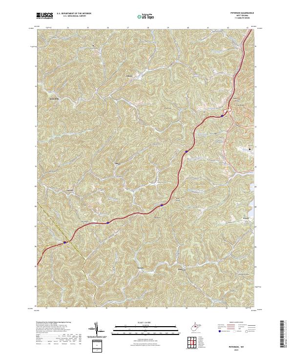
2023 Map of Peterson
USGS Topo · Published 2023About this map
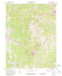
Bealls Mills and the surrounding rural communities of Gillooly, Finster, and Aspinall are documented in this 2023 topographic study of Lewis County. The landscape is defined by an intricate network of waterways, including Sand Fork, Oil Creek, and the Crooked Fork of the Little Kanawha River system. These valleys shaped the settlement patterns of the region, where homes and roads like Indian Fork Rd and Oil Creek Rd follow the narrow floodplains between high ridges such as Tully Ridge.
Find a feature on this map
103 named features on this map. Tap any name to fly to it.
Don’t see what you’re looking for? This feature index may not catch every label — zoom into the map to look around manually.
Map Details
Editions of this 2023 Peterson Map
This is the sole edition of this map. No revisions or reprints were ever made.
Historical Maps of Peterson Through Time
15 maps found
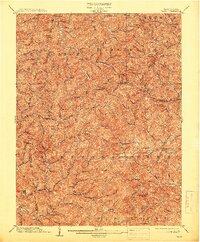
1904 Vadis
Lewis County, WV

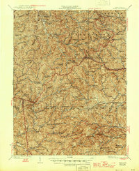
1925 Vadis
Lewis County, WV
1927 Vadis
Lewis County, WV
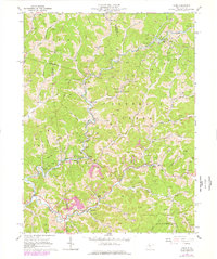
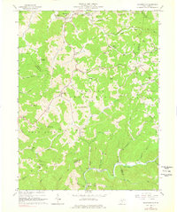
1961 Berlin
Lewis County, WV
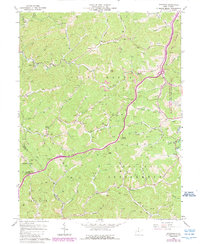
1964 Camden
Lewis County, WV
1964 Vadis
Lewis County, WV
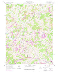
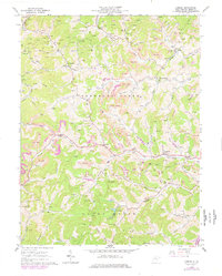
1966 Peterson
Lewis County, WV
1966 Roanoke
Lewis County, WV
1966 Walkersville
Lewis County, WV
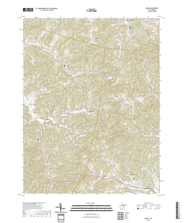
2023 Berlin
Lewis County, WV
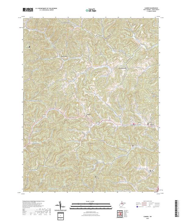
2023 Camden
Lewis County, WV
2023 Peterson
Lewis County, WV
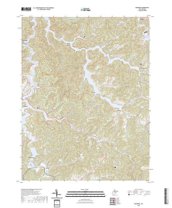
2023 Roanoke
Lewis County, WV
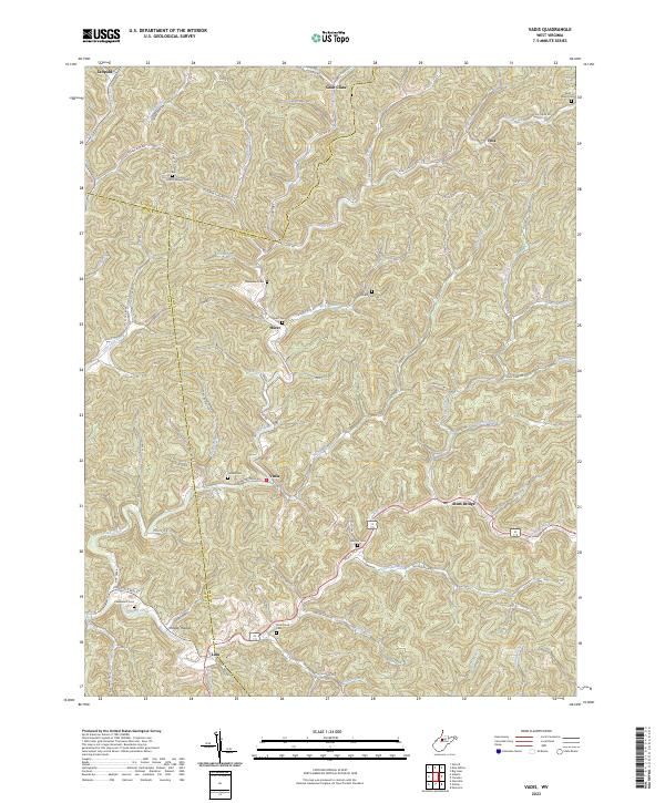
2023 Vadis
Lewis County, WV
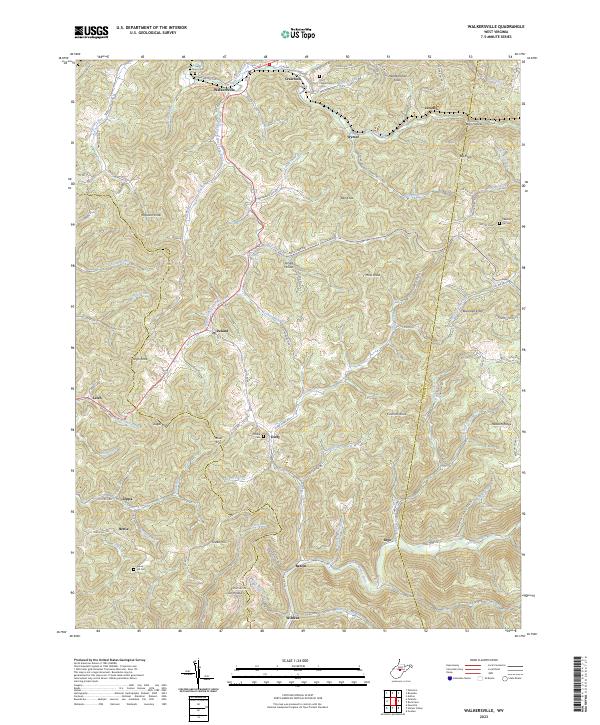
2023 Walkersville
Lewis County, WV