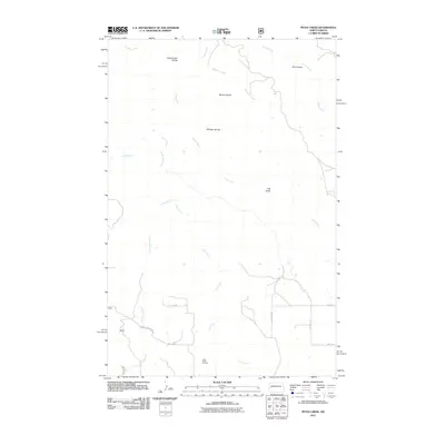
2011 Map of Petes Creek
USGS Topo · Published 2011About this map
Eisenhower Divide, Bonnie Divide, and Dillinger Divide define the high ground of this western North Dakota landscape, where the drainage patterns of numerous creeks shape the geography. The map documents a territory dominated by the energy industry, specifically the southern extent of the Little Knife Oil Field, which is interlaced with localized access roads like 117th Ave SW and 1st St SW. Significant watercourses including Petes Creek and Charlie Bob Creek wind through the breaks, while named landmarks such as Oak Gulch and Hay Coulee provide essential orientation in this segment of McKenzie County. This survey illustrates the modern intersection of hydraulic geography and industrial extraction at a time when the region's oil infrastructure was a primary driver of the local economy and land use.
Find a feature on this map
17 named features on this map. Tap any name to fly to it.
Don’t see what you’re looking for? This feature index may not catch every label — zoom into the map to look around manually.
Map Details
Editions of this 2011 Petes Creek Map
This is the sole edition of this map. No revisions or reprints were ever made.
Other maps of this area

1953 · Watford City
USGS Topo · 1:250,000

1957 · Watford City
USGS Topo · 1:250,000

1958 · Lone Butte SE
USGS Topo · 1:24,000

1958 · Lone Butte
USGS Topo · 1:24,000

1958 · North Killdeer Mountain
USGS Topo · 1:24,000

1967 · Watford City
USGS Topo · 1:250,000

1974 · Killdeer
USGS Topo · 1:100,000

1974 · Grassy Butte SW
USGS Topo · 1:24,000

1974 · Petes Creek
USGS Topo · 1:24,000

1974 · Fayette
USGS Topo · 1:24,000