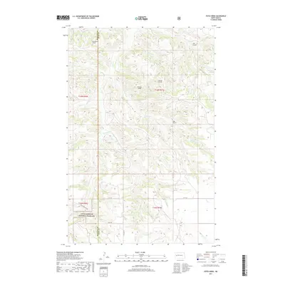
2017 Map of Petes Creek
USGS Topo · Published 2017About this map
Little Missouri National Grassland dominates the southern landscape of this McKenzie County and Dunn County border region. This 2017 survey reveals a deeply incised drainage network where high plateaus like the Eisenhower Divide, Bonnie Divide, and Dillinger Divide separate the north-flowing waters of Lone Butte Cr and Norred Cr from the complex creek systems below. The namesake Petes Creek winds through the central terrain, joined by tributaries such as Russian Cr and Ranch Cr. The map documents a sparsely populated but active landscape, where rural infrastructure is marked by labels like 119th Ave SW and Charlie Bob Creek Rd. Topographic features like Oak Gulch and Hay Coulee illustrate the characteristic erosion patterns of the western North Dakota badlands, while section lines and township markers provide the essential framework for modern land management and historical property research.
Find a feature on this map
24 named features on this map. Tap any name to fly to it.
Don’t see what you’re looking for? This feature index may not catch every label — zoom into the map to look around manually.
Map Details
Editions of this 2017 Petes Creek Map
This is the sole edition of this map. No revisions or reprints were ever made.
Other maps of this area

1953 · Watford City
USGS Topo · 1:250,000

1957 · Watford City
USGS Topo · 1:250,000

1958 · Lone Butte SE
USGS Topo · 1:24,000

1958 · Lone Butte
USGS Topo · 1:24,000

1958 · North Killdeer Mountain
USGS Topo · 1:24,000

1967 · Watford City
USGS Topo · 1:250,000

1974 · Killdeer
USGS Topo · 1:100,000

1974 · Grassy Butte SW
USGS Topo · 1:24,000

1974 · Petes Creek
USGS Topo · 1:24,000

1974 · Fayette
USGS Topo · 1:24,000