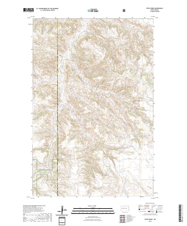
2024 Map of Petes Creek
USGS Topo · Published 2024About this map
Eisenhower Divide and Bonnie Divide define the high terrain of this landscape where the borders of McKenzie and Dunn counties meet. The area is characterized by a complex drainage system where numerous coulees and creeks, such as Hay Coulee and Whitetail Creek, carve through the ridges. The northern portion is marked by the Dillinger Divide, while the south is defined by the headwaters of Petes Creek and Deer Creek. Settlement is sparse in this portion of the Badlands, with the human footprint limited to a few section-line roads like 1st ST SW and 119th Ave SW. The map reveals the intricate topographical contours that separate these drainage basins, providing a detailed look at the watershed geography before these remote areas underwent further modern development or energy infrastructure changes.
Find a feature on this map
21 named features on this map. Tap any name to fly to it.
Don’t see what you’re looking for? This feature index may not catch every label — zoom into the map to look around manually.
Map Details
Editions of this 2024 Petes Creek Map
This is the sole edition of this map. No revisions or reprints were ever made.
Other maps of this area

1953 · Watford City
USGS Topo · 1:250,000

1957 · Watford City
USGS Topo · 1:250,000

1958 · Lone Butte SE
USGS Topo · 1:24,000

1958 · Lone Butte
USGS Topo · 1:24,000

1958 · North Killdeer Mountain
USGS Topo · 1:24,000

1967 · Watford City
USGS Topo · 1:250,000

1974 · Killdeer
USGS Topo · 1:100,000

1974 · Grassy Butte SW
USGS Topo · 1:24,000

1974 · Petes Creek
USGS Topo · 1:24,000

1974 · Fayette
USGS Topo · 1:24,000