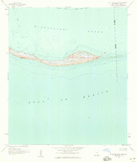
1958 Map of Petit Bois Island
USGS Topo · Published 1959About this map
Petit Bois Island stretches across the maritime boundary of the Alabama Mississippi state line in the late 1950s. This survey, compiled from hydrography recorded just years prior, illustrates the shifting sands of the barrier island as it divides the Mississippi Sound from the open Gulf of Mexico. The landscape is defined by its low-lying marsh and beach terrain, featuring internal ponds and a navigational Light marking the western reaches.
Find a feature on this map
9 named features on this map. Tap any name to fly to it.
Don’t see what you’re looking for? This feature index may not catch every label — zoom into the map to look around manually.
Map Details
Editions of this 1958 Petit Bois Island Map
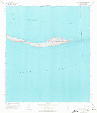
2 editions found
Other maps of this area

1921 · Grand Bay
USGS Topo · 1:62,500

1921 · Petit Bois Island
USGS Topo · 1:62,500

1941 · Horn Island
USGS Topo · 1:62,500

1942 · Petit Bois Island
USGS Topo · 1:62,500

1942 · Horn Island
USGS Topo · 1:62,500

1943 · Pascagoula
USGS Topo · 1:62,500

1943 · Grand Bay
USGS Topo · 1:62,500

1953 · Mobile
USGS Topo · 1:250,000

1955 · Pascagoula
USGS Topo · 1:62,500

1957 · Mobile
USGS Topo · 1:250,000