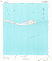
1958 Map of Petit Bois Island
USGS Topo · Published 1972About this map
Petit Bois Island stretches across the maritime boundary of Mississippi and Alabama as a narrow, low-lying barrier during the late 1950s. This survey, compiled from hydrography and planetable work, reveals the island's character before natural erosion and storms significantly altered its footprint. The map documents the relationship between the shallow Mississippi Sound to the north and the open Gulf of Mexico to the south. Navigation and infrastructure are noted through the presence of a light and the Intracoastal Waterway Project Depth 12 Feet, which skirts the northern shore. Marine safety and utility zones are further defined by a designated Cable Area and various piles near the western tip, providing a snapshot of coastal management and the shifting sands of the outer sound during this era.
Find a feature on this map
9 named features on this map. Tap any name to fly to it.
Don’t see what you’re looking for? This feature index may not catch every label — zoom into the map to look around manually.
Map Details
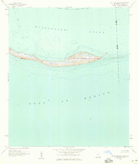
Editions of this 1958 Petit Bois Island Map
2 editions found
Other maps of this area

1921 · Grand Bay
USGS Topo · 1:62,500

1921 · Petit Bois Island
USGS Topo · 1:62,500

1941 · Horn Island
USGS Topo · 1:62,500

1942 · Petit Bois Island
USGS Topo · 1:62,500

1942 · Horn Island
USGS Topo · 1:62,500

1943 · Pascagoula
USGS Topo · 1:62,500

1943 · Grand Bay
USGS Topo · 1:62,500

1953 · Mobile
USGS Topo · 1:250,000

1955 · Pascagoula
USGS Topo · 1:62,500

1957 · Mobile
USGS Topo · 1:250,000