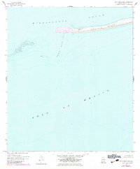
1958 Map of Petit Bois Pass
USGS Topo · Published 1983About this map
Dauphin Island anchors this coastal survey, showing the western edge of the landmass as it stood in the late 1950s with later revisions from the early 1980s. The map illustrates the narrow, shifting nature of the barrier islands where the Mississippi Sound meets the open Gulf of Mexico. Navigational hazards and the dynamic seafloor are emphasized by the presence of Wreckage located west of the main pass. The transition between the sound and the gulf is managed through Petit Bois Pass, a critical maritime corridor that highlights the ever-changing bathymetry of the Alabama coastline. The small notation for Dauphin marks a point of human presence on an otherwise exposed and sandy landscape, providing a specific point of reference for maritime history and coastal change.
Find a feature on this map
6 named features on this map. Tap any name to fly to it.
Don’t see what you’re looking for? This feature index may not catch every label — zoom into the map to look around manually.
Map Details
Editions of this 1958 Petit Bois Pass Map
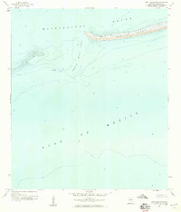
2 editions found
Other maps of this area

1921 · Grand Bay
USGS Topo · 1:62,500

1921 · Petit Bois Island
USGS Topo · 1:62,500

1921 · Dauphin Island
USGS Topo · 1:62,500

1921 · Delchamps
USGS Topo · 1:62,500

1941 · Cedar Point
USGS Topo · 1:62,500

1942 · Petit Bois Island
USGS Topo · 1:62,500

1942 · Fort Morgan
USGS Topo · 1:62,500

1943 · Cedar Point
USGS Topo · 1:62,500

1943 · Grand Bay
USGS Topo · 1:62,500

1953 · Mobile
USGS Topo · 1:250,000