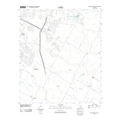
2010 Map of Pflugerville East
USGS Topo · Published 2010About this map
New Sweden and Cele anchor the rural landscape of northeast Travis County during a period of significant suburban transition. The map records a patchwork of traditional family-owned land and expanding infrastructure, evidenced by multiple burial grounds including Shiloh Cemetery, Pfluger Cemetery, and Hill Cemetery. The presence of numerous specialized facilities like the Pflugerville Wastewater Treatment Facility and the Upper Gilleland Creek Wastewater Treatment Facility signals the area's rapid adaptation to growing residential demands from nearby Austin.
Find a feature on this map
61 named features on this map. Tap any name to fly to it.
Don’t see what you’re looking for? This feature index may not catch every label — zoom into the map to look around manually.
Map Details
Editions of this 2010 Pflugerville East Map
This is the sole edition of this map. No revisions or reprints were ever made.
Other maps of this area

1885 · Taylor
USGS Topo · 1:125,000

1885 · Bastrop
USGS Topo · 1:125,000

1887 · Taylor
USGS Topo · 1:125,000

1893 · Georgetown
USGS Topo · 1:125,000

1893 · Bastrop
USGS Topo · 1:125,000

1894 · Taylor
USGS Topo · 1:125,000

1896 · Austin
USGS Topo · 1:125,000

1897 · Austin
USGS Topo · 1:125,000

1904 · Bastrop
USGS Topo · 1:125,000

1910 · Austin
USGS Topo · 1:125,000