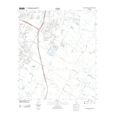
2013 Map of Pflugerville East
USGS Topo · Published 2013About this map
The agrarian roots of northeastern Travis County meet rapidly expanding infrastructure in this survey of the landscape east of Pflugerville. While modern developments and the Pflugerville Wastewater Treatment Facility signal the region's growth, legacy farmsteads and rural settlements like Cele and New Sweden remain visible. The terrain is defined by the winding paths of Wilbarger Cr and Gilleland Cr, which feed several small bodies of water including Zimmerhanzel Lake and Raesz Lake.
Find a feature on this map
173 named features on this map. Tap any name to fly to it.
Don’t see what you’re looking for? This feature index may not catch every label — zoom into the map to look around manually.
Map Details
Editions of this 2013 Pflugerville East Map
This is the sole edition of this map. No revisions or reprints were ever made.
Other maps of this area

1885 · Taylor
USGS Topo · 1:125,000

1885 · Bastrop
USGS Topo · 1:125,000

1887 · Taylor
USGS Topo · 1:125,000

1893 · Georgetown
USGS Topo · 1:125,000

1893 · Bastrop
USGS Topo · 1:125,000

1894 · Taylor
USGS Topo · 1:125,000

1896 · Austin
USGS Topo · 1:125,000

1897 · Austin
USGS Topo · 1:125,000

1904 · Bastrop
USGS Topo · 1:125,000

1910 · Austin
USGS Topo · 1:125,000