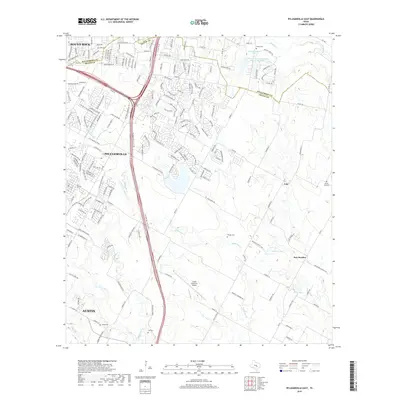
2019 Map of Pflugerville East
USGS Topo · Published 2019About this map
Pflugerville anchors this Central Texas landscape, positioned just southeast of Round Rock and north of the expanding Austin metropolitan area. The map illustrates the convergence of suburban growth and rural heritage, where dense residential developments like those along Gattis School Rd meet the agricultural reaches of Cele and New Sweden. This intersection of eras is most evident in the preserved local history found at the Pfluger Cem and Shiloh Cem, which stand as markers of early settlement amidst modern infrastructure like the Austin Executive Airport.
Find a feature on this map
194 named features on this map. Tap any name to fly to it.
Don’t see what you’re looking for? This feature index may not catch every label — zoom into the map to look around manually.
Map Details
Editions of this 2019 Pflugerville East Map
This is the sole edition of this map. No revisions or reprints were ever made.
Other maps of this area

1885 · Taylor
USGS Topo · 1:125,000

1885 · Bastrop
USGS Topo · 1:125,000

1887 · Taylor
USGS Topo · 1:125,000

1893 · Georgetown
USGS Topo · 1:125,000

1893 · Bastrop
USGS Topo · 1:125,000

1894 · Taylor
USGS Topo · 1:125,000

1896 · Austin
USGS Topo · 1:125,000

1897 · Austin
USGS Topo · 1:125,000

1904 · Bastrop
USGS Topo · 1:125,000

1910 · Austin
USGS Topo · 1:125,000