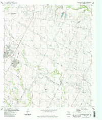
1987 Map of Pflugerville East
USGS Topo · Published 1988About this map
Pflugerville and its surrounding agricultural landscape appear in the late 1980s as the Austin Corporate Boundary begins to edge into the rural stretches of Williamson and Travis counties. The landscape is defined by its deep roots in Central Texas farming, marked by family-named roads like Pfluger Lane, Weiss Lane, and Hodde Lane. Smaller outlying settlements such as New Sweden and Cele remain distinct, centered around community landmarks and rural schools.
Find a feature on this map
47 named features on this map. Tap any name to fly to it.
Don’t see what you’re looking for? This feature index may not catch every label — zoom into the map to look around manually.
Map Details
Editions of this 1987 Pflugerville East Map
This is the sole edition of this map. No revisions or reprints were ever made.
Other maps of this area

1885 · Taylor
USGS Topo · 1:125,000

1885 · Bastrop
USGS Topo · 1:125,000

1887 · Taylor
USGS Topo · 1:125,000

1893 · Georgetown
USGS Topo · 1:125,000

1893 · Bastrop
USGS Topo · 1:125,000

1894 · Taylor
USGS Topo · 1:125,000

1896 · Austin
USGS Topo · 1:125,000

1897 · Austin
USGS Topo · 1:125,000

1904 · Bastrop
USGS Topo · 1:125,000

1910 · Austin
USGS Topo · 1:125,000