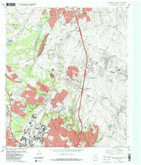
1987 Map of Pflugerville West
USGS Topo · Published 1987About this map
The growing suburban corridor between Austin and Round Rock is meticulously documented here during the late 1980s. A landscape in transition, it shows the emergence of high-tech and academic campuses, most notably the University of Texas Balcones Research Center, alongside established agricultural and rail infrastructure. Major transportation arteries like the Missouri Pacific and Southern Pacific railroads bisect the terrain, connecting smaller communities such as Merrelltown, Three Points, and Kings Village.
Find a feature on this map
51 named features on this map. Tap any name to fly to it.
Don’t see what you’re looking for? This feature index may not catch every label — zoom into the map to look around manually.
Map Details
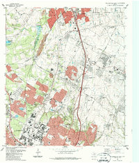
Editions of this 1987 Pflugerville West Map
2 editions found
Other maps of this area

1893 · Georgetown
USGS Topo · 1:125,000

1896 · Austin
USGS Topo · 1:125,000

1897 · Austin
USGS Topo · 1:125,000

1910 · Austin
USGS Topo · 1:125,000

1925 · Georgetown 4-d
USGS Topo · 1:48,000

1928 · Round Rock
USGS Topo · 1:62,500

1932 · Mt. Bonnell
USGS Topo · 1:62,500

1949 · Round Rock
USGS Topo · 1:62,500

1951 · Round Rock
USGS Topo · 1:62,500

1954 · Austin East
USGS Topo · 1:24,000