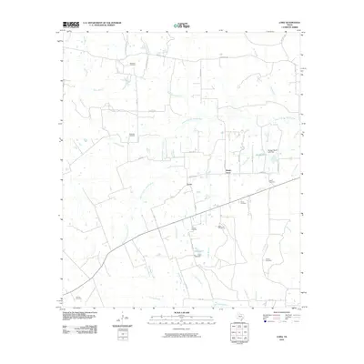
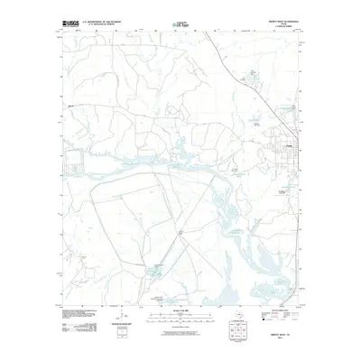
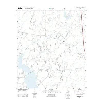
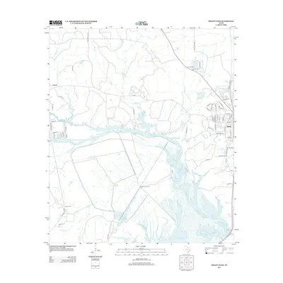
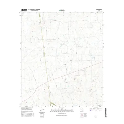
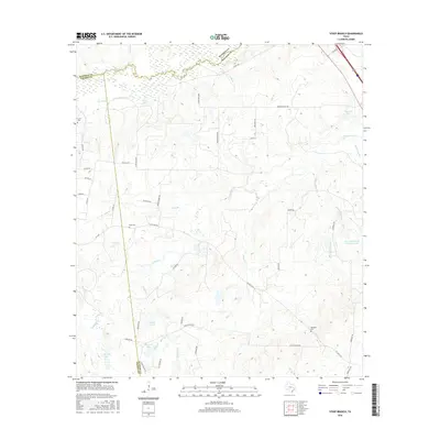
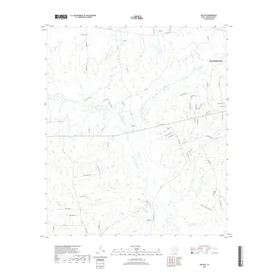
1960 Map of Phelps
USGS Topo · Published 1968About this map
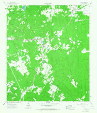
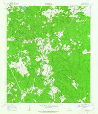
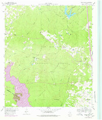
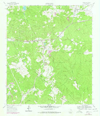
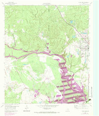
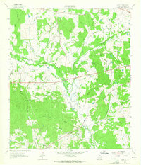
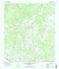
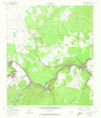
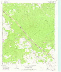
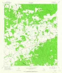
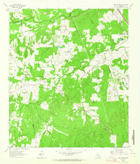
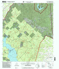
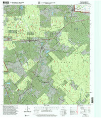
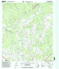
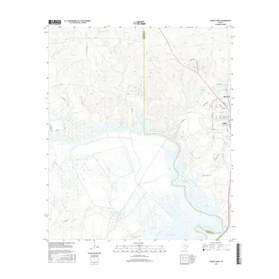
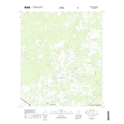
The Sam Houston National Forest blankets much of this 1960 landscape in Walker County, where small timber-country settlements are connected by the Missouri Pacific Railroad. The village of Phelps serves as a central junction, where the rail line intersects a network of rural routes like the Notch Road. To the northeast, the community of Dodge sits near the Old Railroad Grade, reflecting the area's historical reliance on timber extraction and transport. Further south, Pine Valley is established along the rail corridor, surrounded by a dense system of creeks including Winteres Bayou and San Jacinto River tributaries. This survey captures a moment when the deep piney woods of East Texas remained defined by small-scale rail hubs and isolated homesteads before the further modernization of the state highway system.
Find a feature on this map
3 named features on this map. Tap any name to fly to it.
Don’t see what you’re looking for? This feature index may not catch every label — zoom into the map to look around manually.
Map Details
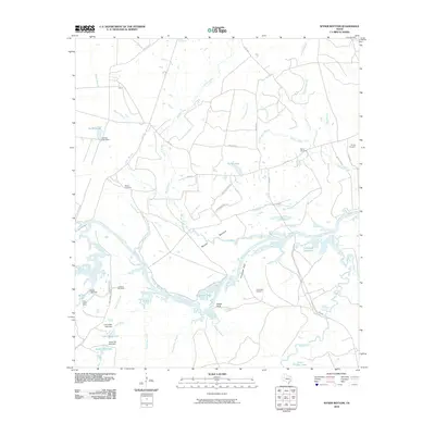
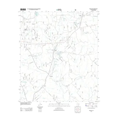
Editions of this 1960 Phelps Map
3 editions found
Historical Maps of Huntsville Through Time
57 maps found
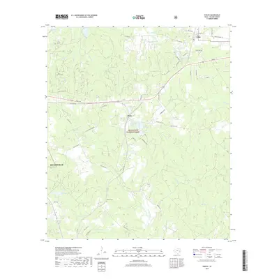
1959 Moore Grove
Walker County, TX
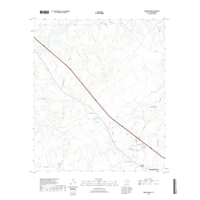
1960 Phelps
Walker County, TX
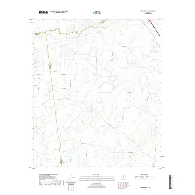
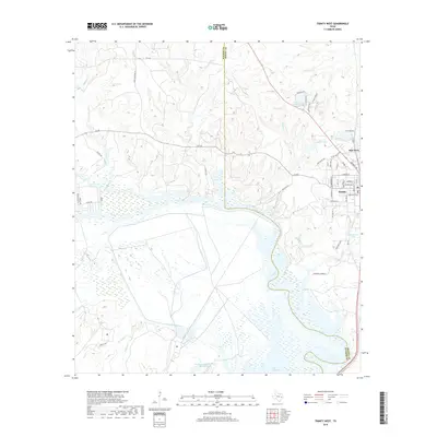
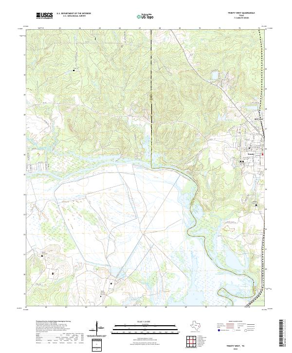
1960 Trinity West
Walker County, TX
1962 Galilee
Walker County, TX
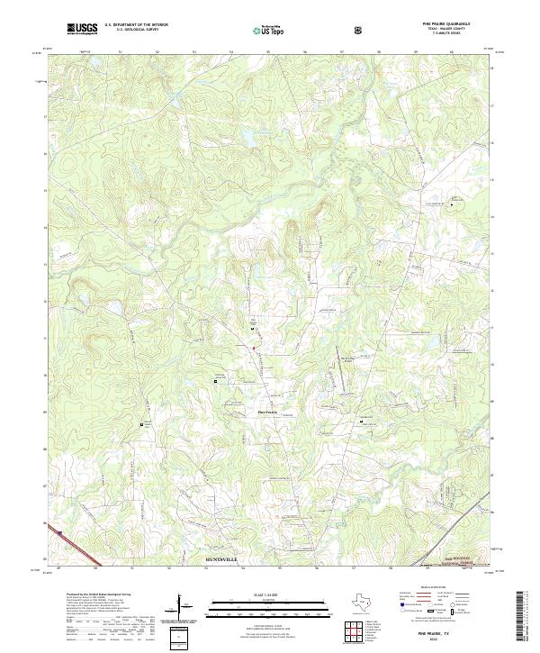
1962 Pine Prairie
Walker County, TX
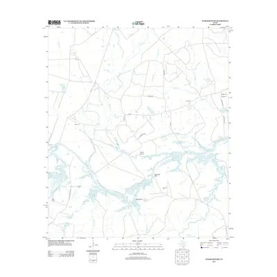
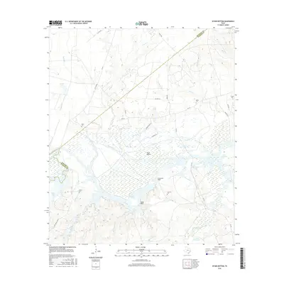
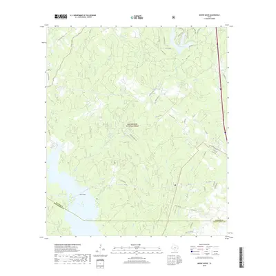
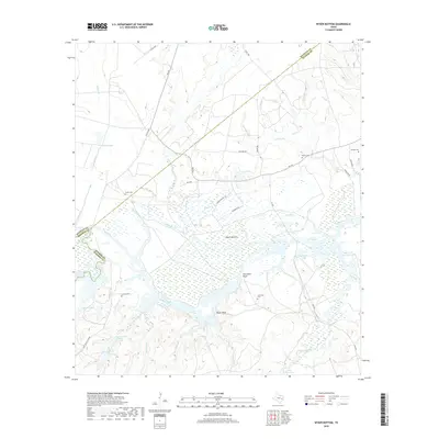
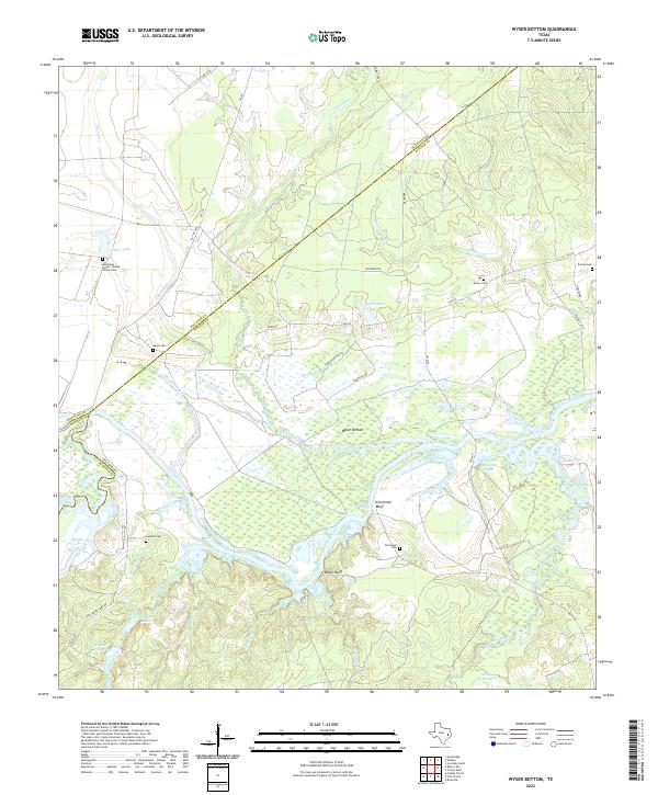
1962 Wyser Bottom
Walker County, TX
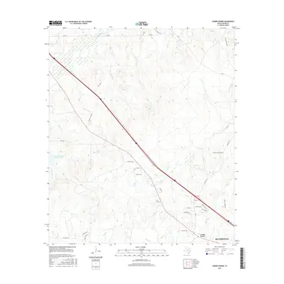
1963 Crabbs Prairie
Walker County, TX
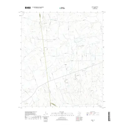
1963 Loma
Walker County, TX
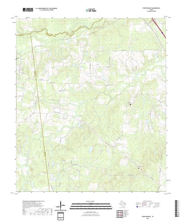
1963 Steep Branch
Walker County, TX
1997 Moore Grove
Walker County, TX
1997 Phelps
Walker County, TX
1997 Pine Prairie
Walker County, TX
2010 Crabbs Prairie
Walker County, TX
2010 Galilee
Walker County, TX
2010 Loma
Walker County, TX
2010 Moore Grove
Walker County, TX
2010 Phelps
Walker County, TX
2010 Pine Prairie
Walker County, TX

2010 Steep Branch
Walker County, TX
2010 Trinity West
Walker County, TX
2010 Wyser Bottom
Walker County, TX
2013 Crabbs Prairie
Walker County, TX
2013 Galilee
Walker County, TX

2013 Loma
Walker County, TX
2013 Moore Grove
Walker County, TX
2013 Phelps
Walker County, TX
2013 Pine Prairie
Walker County, TX
2013 Steep Branch
Walker County, TX
2013 Trinity West
Walker County, TX
2013 Wyser Bottom
Walker County, TX
2016 Crabbs Prairie
Walker County, TX
2016 Galilee
Walker County, TX
2016 Loma
Walker County, TX
2016 Moore Grove
Walker County, TX
2016 Phelps
Walker County, TX
2016 Pine Prairie
Walker County, TX
2016 Steep Branch
Walker County, TX
2016 Trinity West
Walker County, TX
2016 Wyser Bottom
Walker County, TX
2019 Crabbs Prairie
Walker County, TX
2019 Galilee
Walker County, TX
2019 Loma
Walker County, TX
2019 Moore Grove
Walker County, TX
2019 Phelps
Walker County, TX
2019 Pine Prairie
Walker County, TX
2019 Steep Branch
Walker County, TX
2019 Trinity West
Walker County, TX
2019 Wyser Bottom
Walker County, TX
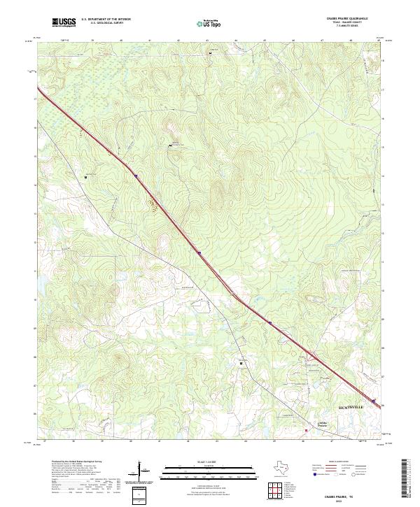
2022 Crabbs Prairie
Walker County, TX

2022 Galilee
Walker County, TX
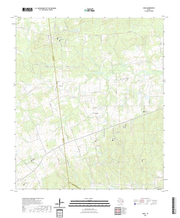
2022 Loma
Walker County, TX
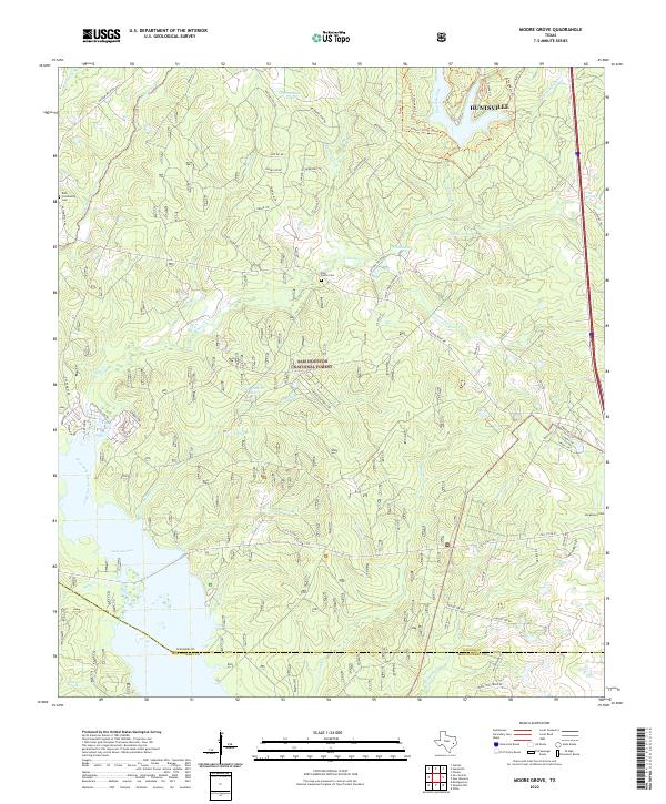
2022 Moore Grove
Walker County, TX
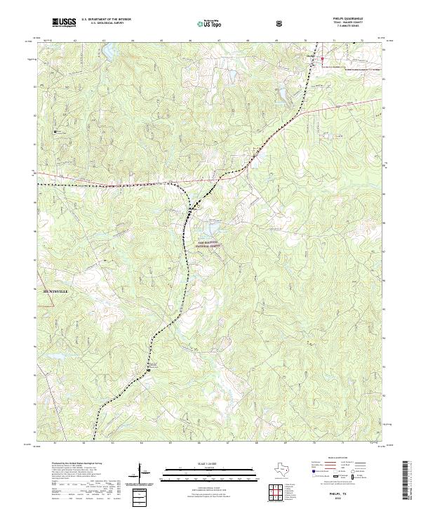
2022 Phelps
Walker County, TX
2022 Pine Prairie
Walker County, TX
2022 Steep Branch
Walker County, TX
2022 Trinity West
Walker County, TX
2022 Wyser Bottom
Walker County, TX