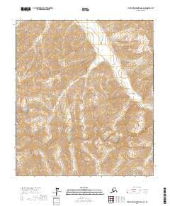
2017 Map of Philip Smith Mountains B-3 NE
USGS Topo · Published 2017About this map
Philip Smith Mountains define this high-elevation terrain in the North Slope Borough, where the dramatic relief of the Brooks Range is captured in fine detail. The landscape is dominated by steep ridgelines and glacial valleys, with Cloud Peak standing as a primary topographical landmark in the western portion of the quadrangle. Drainage for the area is centered on the winding path of Accomplishment Cr, which flows through the eastern valleys of the range. This 2017 study illustrates the raw hydrologic and geologic structure of the Alaskan interior, showing the intricate network of seasonal runoff and perennial flows like Accomplishment Creek that have carved the mountain passes over millennia. The map provides a clear look at the township and range survey lines, including t11s r16e, which organize this largely untouched wilderness.
Find a feature on this map
10 named features on this map. Tap any name to fly to it.
Don’t see what you’re looking for? This feature index may not catch every label — zoom into the map to look around manually.
Map Details
Editions of this 2017 Philip Smith Mountains B-3 NE Map
This is the sole edition of this map. No revisions or reprints were ever made.
Other maps of this area

1951 · Brooks
USGS Topo · 1:250,000

1956 · Philip Smith Mountains
USGS Topo · 1:250,000

1964 · Philip Smith Mountains
USGS Topo · 1:250,000
1971 · Philip Smith Mountains C-2
USGS Topo · 1:63,360
1971 · Philip Smith Mountains C-3
USGS Topo · 1:63,360

1971 · Philip Smith Mountains B-3
USGS Topo · 1:63,360
1971 · Philip Smith Mountains B-2
USGS Topo · 1:63,360
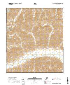
2017 · Philip Smith Mountains B-2 SW
USGS Topo · 1:25,000
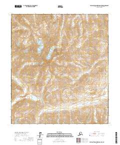
2017 · Philip Smith Mountains B-2 NW
USGS Topo · 1:25,000
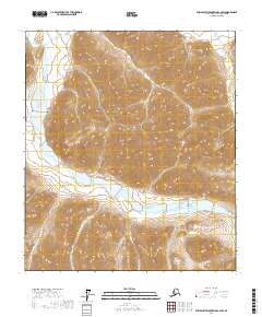
2017 · Philip Smith Mountains C-2 SW
USGS Topo · 1:25,000