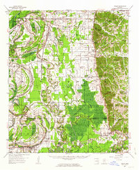
1957 Map of Philipp
USGS Topo · Published 1963About this map
The Illinois Central railroad corridor anchors this survey of the Mississippi Delta’s eastern edge, where the flat, swampy bottomlands of the Tallahatchie River meet the rising hills of the Loess Bluffs. Small farming communities and railroad stops like Philipp, Tippo, and Loopolis are connected by a dense network of country churches and schools that served a decentralized rural population. The landscape is defined by its water, from the winding oxbows of Hampton Lake and Alligator Lake to the engineered straightness of river cut-offs.
Find a feature on this map
112 named features on this map. Tap any name to fly to it.
Don’t see what you’re looking for? This feature index may not catch every label — zoom into the map to look around manually.
Map Details
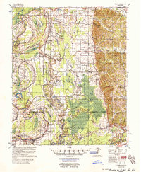
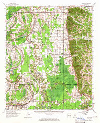
Editions of this 1957 Philipp Map
3 editions found
Other maps of this area

1931 · Schlater
USGS Topo · 1:48,000

1931 · Sumner
USGS Topo · 1:48,000

1932 · Philipp
USGS Topo · 1:48,000

1932 · Tutwiler
USGS Topo · 1:48,000

1934 · Schlater
USGS Topo · 1:62,500

1935 · Crowder
USGS Topo · 1:62,500

1935 · Sumner
USGS Topo · 1:62,500

1935 · Tutwiler
USGS Topo · 1:62,500

1935 · Philipp
USGS Topo · 1:62,500

1936 · Greenwood
USGS Topo · 1:62,500