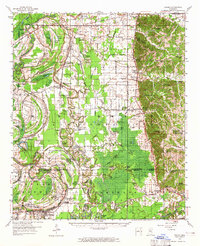
1957 Map of Philipp
USGS Topo · Published 1965About this map
The Tallahatchie River and Tippo Bayou dominate this landscape, winding through a patchwork of agricultural lands and wetlands at the intersection of Tallahatchie, Leflore, and Grenada counties. The Illinois Central Railroad serves as a primary transport spine, connecting the community of Philipp and the rail junction at Sisters Junction to the broader Mississippi Delta. This 1950s survey captures a rural social structure defined by numerous country churches and schools, such as Rosenwald Sch & Ch and Solomon Chapel Sch & Ch, which reflect the localized settlement patterns of the era.
Find a feature on this map
119 named features on this map. Tap any name to fly to it.
Don’t see what you’re looking for? This feature index may not catch every label — zoom into the map to look around manually.
Map Details
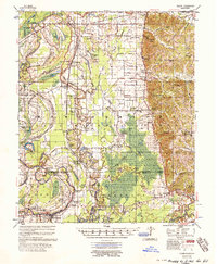
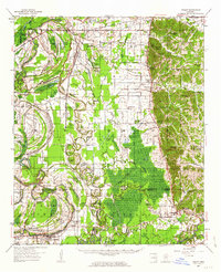
Editions of this 1957 Philipp Map
3 editions found
Other maps of this area

1931 · Schlater
USGS Topo · 1:48,000

1931 · Sumner
USGS Topo · 1:48,000

1932 · Philipp
USGS Topo · 1:48,000

1932 · Tutwiler
USGS Topo · 1:48,000

1934 · Schlater
USGS Topo · 1:62,500

1935 · Crowder
USGS Topo · 1:62,500

1935 · Sumner
USGS Topo · 1:62,500

1935 · Tutwiler
USGS Topo · 1:62,500

1935 · Philipp
USGS Topo · 1:62,500

1936 · Greenwood
USGS Topo · 1:62,500