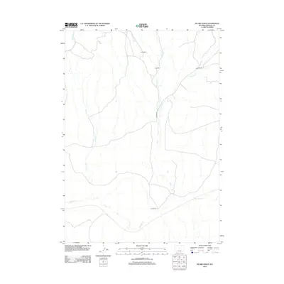
2012 Map of Picard Ranch
USGS Topo · Published 2012About this map
Picard Ranch and several other family holdings anchor this high-plains landscape in Fremont County, where the ranching economy is tied to a network of seasonal drainages. This modern survey illustrates how water defines human presence in the region, with the namesake ranch situated near the southern banks of Badwater Cr. Further north, Howard Ranch and Fuller Ranch occupy the drainages of Dry Cr, where the landscape is carved by the W Fork Dry Cr and E Fork Dry Cr. Transport through this sparse terrain is primarily via Badwater Rd, which follows the natural contours of the creeks. The western edge of the map is defined by the winding course of Hoodoo Cr, reflecting the isolated and cattle-focused character of this central Wyoming territory.
Find a feature on this map
9 named features on this map. Tap any name to fly to it.
Don’t see what you’re looking for? This feature index may not catch every label — zoom into the map to look around manually.
Map Details
Editions of this 2012 Picard Ranch Map
This is the sole edition of this map. No revisions or reprints were ever made.
Other maps of this area
1951 · Birdseye Pass
USGS Topo · 1:24,000
1951 · Bonneville
USGS Topo · 1:24,000
1951 · Shoshoni
USGS Topo · 1:24,000
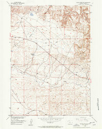
1952 · Squaw Butte NE
USGS Topo · 1:24,000
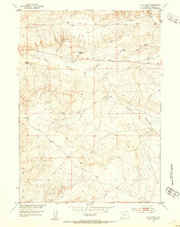
1952 · Ocla Draw
USGS Topo · 1:24,000
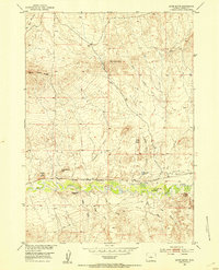
1952 · Gates Butte
USGS Topo · 1:24,000
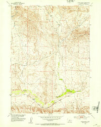
1952 · Picard Ranch
USGS Topo · 1:24,000
1952 · De Pass
USGS Topo · 1:24,000
1952 · Guffy Peak
USGS Topo · 1:24,000

1955 · Thermopolis
USGS Topo · 1:250,000