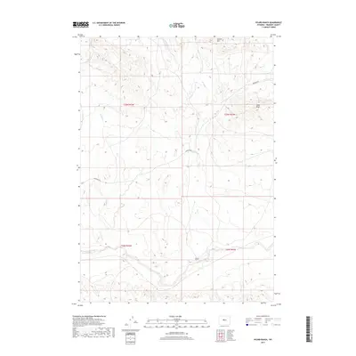
2017 Map of Picard Ranch
USGS Topo · Published 2017About this map
Picard Ranch sits at the heart of this Fremont County landscape, situated near the confluence of several intermittent water systems. The map detail highlights the intricate drainage network of the region, where Hoodoo Cr and Dry Cr flow through complex terrain toward Badwater Creek in the south. This area is characterized by a sparse settlement pattern typical of Wyoming's ranching country, connected by the primary thoroughfare of Badwater Rd. Significant topographical markers include Steffen Hill in the north and the prominent Cedar Ridge to the east. These landforms, alongside the various forks of the local creek systems like W Fork Dry Cr and E Fork Dry Cr, define the livestock and land management boundaries of the early 21st century.
Find a feature on this map
13 named features on this map. Tap any name to fly to it.
Don’t see what you’re looking for? This feature index may not catch every label — zoom into the map to look around manually.
Map Details
Editions of this 2017 Picard Ranch Map
This is the sole edition of this map. No revisions or reprints were ever made.
Other maps of this area
1951 · Birdseye Pass
USGS Topo · 1:24,000
1951 · Bonneville
USGS Topo · 1:24,000
1951 · Shoshoni
USGS Topo · 1:24,000
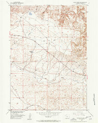
1952 · Squaw Butte NE
USGS Topo · 1:24,000
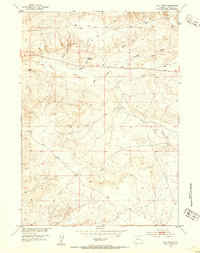
1952 · Ocla Draw
USGS Topo · 1:24,000
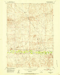
1952 · Gates Butte
USGS Topo · 1:24,000
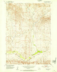
1952 · Picard Ranch
USGS Topo · 1:24,000
1952 · De Pass
USGS Topo · 1:24,000
1952 · Guffy Peak
USGS Topo · 1:24,000

1955 · Thermopolis
USGS Topo · 1:250,000