
1962 Map of Pierce
USGS Topo · Published 1963About this map
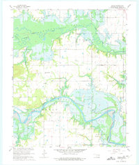
Richardsville and Pierce anchor this landscape during a period of significant hydrological change in McIntosh County. The North Canadian River and the Deep Fork wind through the terrain, meeting the rising waters of the Eufaula Reservoir. This survey, based on 1959 photography and 1962 field checks, identifies areas destined for inundation, marked by the blue hatching indicating the Normal Pool Elevation 585. Local social life is documented through numerous community landmarks, including Warrior Sch, Big Arbor Ch, and the Stidham Sch near the southern boundary. Family history is well-preserved in the locations of the McNally Cem and Lerblance Cem, providing a detailed record of the rural uplands before the full expansion of the reservoir altered the river valleys forever.
Find a feature on this map
23 named features on this map. Tap any name to fly to it.
Don’t see what you’re looking for? This feature index may not catch every label — zoom into the map to look around manually.
Map Details
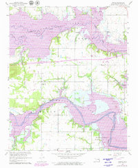
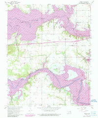
Editions of this 1962 Pierce Map
4 editions found
Other maps of this area

1896 · Okmulgee
USGS Topo · 1:125,000

1900 · Canadian
USGS Topo · 1:125,000

1900 · Okmulgee
USGS Topo · 1:125,000

1946 · Fort Smith
USGS Topo · 1:250,000

1962 · Raiford
USGS Topo · 1:24,000

1962 · Hoffman
USGS Topo · 1:24,000

1963 · Stidham
USGS Topo · 1:24,000

1963 · Eufaula
USGS Topo · 1:24,000

1963 · Checotah
USGS Topo · 1:24,000

1965 · Fort Smith
USGS Topo · 1:250,000