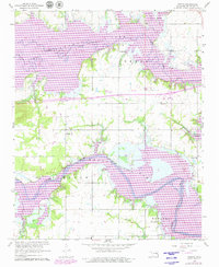
1962 Map of Pierce
USGS Topo · Published 1979About this map
Deep Fork Eufaula Lake and the North Canadian River Eufaula Lake dominate this McIntosh County landscape, reflecting the significant changes to the Oklahoma river systems during the mid-20th century. The inundation created by the lake transformed previous bottomlands into broad aquatic reaches, though the original footprints of rural communities like Pierce and Richardsville remain visible on higher ground.
Find a feature on this map
27 named features on this map. Tap any name to fly to it.
Don’t see what you’re looking for? This feature index may not catch every label — zoom into the map to look around manually.
Map Details
Editions of this 1962 Pierce Map
4 editions found
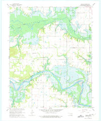
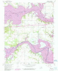
Other maps of this area

1896 · Okmulgee
USGS Topo · 1:125,000

1900 · Canadian
USGS Topo · 1:125,000

1900 · Okmulgee
USGS Topo · 1:125,000

1946 · Fort Smith
USGS Topo · 1:250,000

1962 · Raiford
USGS Topo · 1:24,000

1962 · Pierce
USGS Topo · 1:24,000

1962 · Hoffman
USGS Topo · 1:24,000

1963 · Stidham
USGS Topo · 1:24,000

1963 · Eufaula
USGS Topo · 1:24,000

1963 · Checotah
USGS Topo · 1:24,000