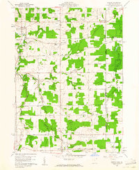
1960 Map of Pierpont
USGS Topo · Published 1961About this map
The Connecticut Western Reserve's historical legacy is visible across this 1960 landscape, where the township boundaries of Monroe and Pierpont are defined by a grid of rural roads and scattered farmsteads. The settlement at Pierpont serves as a local hub, situated near the headwaters of the West Branch Ashtabula River. Further north, the village of Kelloggsville and the crossroads of Monroe Center anchor the community, supported by local institutions like Monroe Sch and several family-named burial grounds including Reeds Corners Cem and Evergreen Cem.
Find a feature on this map
51 named features on this map. Tap any name to fly to it.
Don’t see what you’re looking for? This feature index may not catch every label — zoom into the map to look around manually.
Map Details
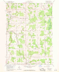
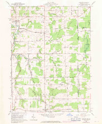
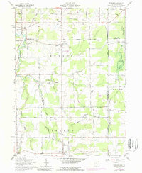
Editions of this 1960 Pierpont Map
4 editions found
Other maps of this area

1900 · Girard
USGS Topo · 1:62,500

1905 · Andover
USGS Topo · 1:48,000

1906 · Conneaut
USGS Topo · 1:62,500

1906 · Linesville
USGS Topo · 1:62,500

1907 · Andover
USGS Topo · 1:62,500

1908 · Linesville
USGS Topo · 1:62,500

1950 · Cleveland
USGS Topo · 1:250,000

1956 · Cleveland
USGS Topo · 1:250,000

1959 · East Springfield
USGS Topo · 1:24,000

1959 · Beaver Center
USGS Topo · 1:24,000