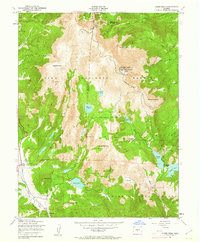
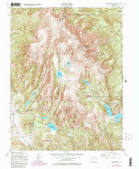
1951 Map of Pikes Peak
USGS Topo · Published 1962About this map
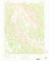
Pikes Peak dominates this 1950s survey, revealing the complex infrastructure required to maintain the high-altitude landmark and manage the region's critical water resources. The summit is clearly marked with the Summit House, Water Tanks, and the upper terminus of the Manitou and Pikes Peak Ry. To the east, the Barr Trail winds toward the peak, while the western and southern slopes within the Pike National Forest are defined by an intricate network of reservoirs and tunnels. The presence of Bison Reservoir, Reservoir No 8, and the Strickler Tunnel illustrates the massive engineering efforts to capture runoff from Trachyte Knob and Sheep Mountain. In the southwest corner, the settlement of Gillett appears near the Altman Dam, providing a glimpse into the human habitation that persisted near the high alpine basins and the headwaters of West Beaver Creek.
Find a feature on this map
41 named features on this map. Tap any name to fly to it.
Don’t see what you’re looking for? This feature index may not catch every label — zoom into the map to look around manually.
Map Details
Editions of this 1951 Pikes Peak Map
9 editions found
Other maps of this area

1893 · Colorado Springs
USGS Topo · 1:125,000

1894 · Pikes Peak
USGS Topo · 1:125,000

1901 · Pikes Peak
USGS Topo · 1:125,000

1901 · Pikes Peak
USGS Topo · 1:62,500

1909 · Colorado Springs
USGS Topo · 1:125,000

1942 · Colorado Springs
USGS Topo · 1:125,000

1948 · Mount Big Chief
USGS Topo · 1:24,000

1948 · Manitou Springs
USGS Topo · 1:24,000

1948 · Colorado Springs
USGS Topo · 1:62,500

1948 · Cascade
USGS Topo · 1:24,000