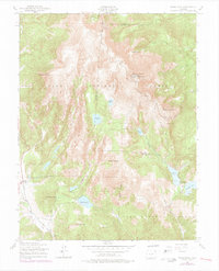
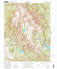
1951 Map of Pikes Peak
USGS Topo · Published 1978About this map
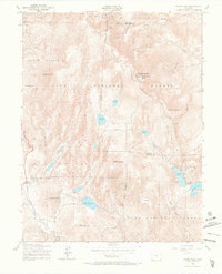
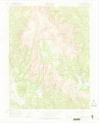
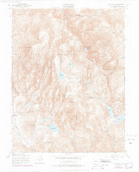
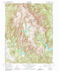
Pikes Peak anchors this high-altitude landscape, featuring the iconic Summit House and a network of water management systems designed to serve the growing Front Range. The map details an extensive chain of reservoirs including Reservoir No 8, Reservoir No 4, and Bison Reservoir, many linked by the Strickler Tunnel and St John Tunnel. In the southwest corner, the settlement of Gillett appears alongside scattered Ruins, reflecting the area's mining and ranching history near the turn of the century. The terrain is marked by distinctive formations like the Bottomless Pit and The Crater, while family-named landmarks such as Sachett Mountain and Cow Mountain define the topography within the Pike National Forest. This survey captures the critical infrastructure that transformed the alpine watershed, from the Altman Dam to the various Water Tanks along the steep mountain slopes.
Find a feature on this map
40 named features on this map. Tap any name to fly to it.
Don’t see what you’re looking for? This feature index may not catch every label — zoom into the map to look around manually.
Map Details
Editions of this 1951 Pikes Peak Map
9 editions found
Other maps of this area

1893 · Colorado Springs
USGS Topo · 1:125,000

1894 · Pikes Peak
USGS Topo · 1:125,000

1901 · Pikes Peak
USGS Topo · 1:125,000

1901 · Pikes Peak
USGS Topo · 1:62,500

1909 · Colorado Springs
USGS Topo · 1:125,000

1942 · Colorado Springs
USGS Topo · 1:125,000

1948 · Mount Big Chief
USGS Topo · 1:24,000

1948 · Manitou Springs
USGS Topo · 1:24,000

1948 · Colorado Springs
USGS Topo · 1:62,500

1948 · Cascade
USGS Topo · 1:24,000