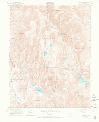
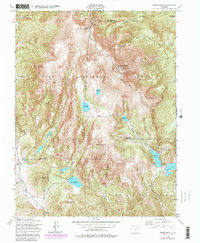
1951 Map of Pikes Peak
USGS Topo · Published 1966About this map
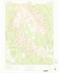
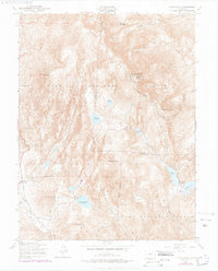
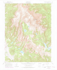
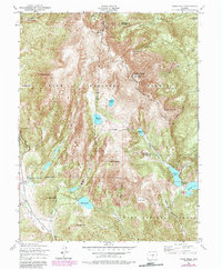
Pikes Peak dominates this landscape, serving as the high point for a complex network of alpine infrastructure and natural drainage. The summit is marked by the Summit House and the terminal line of the Manitou and Pikes Peak Railway, which climbs the eastern slopes past Windy Point and Sachett Mountain. A sophisticated water management system is evident across the terrain, featuring the Strickler Tunnel, St John Tunnel, and numerous high-altitude basins including Bison Reservoir and the Seven Lakes chain.
Find a feature on this map
42 named features on this map. Tap any name to fly to it.
Don’t see what you’re looking for? This feature index may not catch every label — zoom into the map to look around manually.
Map Details
Editions of this 1951 Pikes Peak Map
9 editions found
Other maps of this area

1893 · Colorado Springs
USGS Topo · 1:125,000

1894 · Pikes Peak
USGS Topo · 1:125,000

1901 · Pikes Peak
USGS Topo · 1:125,000

1901 · Pikes Peak
USGS Topo · 1:62,500

1909 · Colorado Springs
USGS Topo · 1:125,000

1942 · Colorado Springs
USGS Topo · 1:125,000

1948 · Mount Big Chief
USGS Topo · 1:24,000

1948 · Manitou Springs
USGS Topo · 1:24,000

1948 · Colorado Springs
USGS Topo · 1:62,500

1948 · Cascade
USGS Topo · 1:24,000