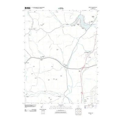
2010 Map of Piketon
USGS Topo · Published 2010About this map
The Scioto River carves a wide valley through this region of southern Ohio, where the village of Piketon serves as a central hub for commerce and local history. To the north, the waters of Lake White are contained by the Lake White Dam, creating a residential shoreline that includes Riviera Park and Lake View Heights. This landscape is particularly rich for genealogical research, documenting numerous burial grounds such as Mound Cemetery, Yankee Hill Cemetery, and the Jasper Methodist Cemetery near the settlement of Jasper.
Find a feature on this map
102 named features on this map. Tap any name to fly to it.
Don’t see what you’re looking for? This feature index may not catch every label — zoom into the map to look around manually.
Map Details
Editions of this 2010 Piketon Map
This is the sole edition of this map. No revisions or reprints were ever made.
Other maps of this area

1906 · Waverly
USGS Topo · 1:62,500

1908 · Waverly
USGS Topo · 1:62,500

1911 · Sciotoville
USGS Topo · 1:62,500

1913 · Sciotoville
USGS Topo · 1:62,500

1915 · Otway
USGS Topo · 1:62,500

1915 · Piketon
USGS Topo · 1:62,500

1917 · Piketon
USGS Topo · 1:62,500

1917 · Otway
USGS Topo · 1:62,500

1944 · Piketon
USGS Topo · 1:62,500

1947 · Columbus
USGS Topo · 1:250,000