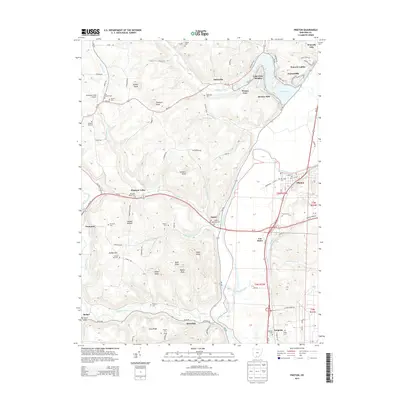
2013 Map of Piketon
USGS Topo · Published 2013About this map
Piketon and the surrounding Scioto River valley define this landscape in the early 21st century, where the river serves as a corridor for both modern infrastructure and deep-rooted settlements. The valley floor is dominated by the broad course of the Scioto River, flanked by significant transportation routes like Us-23 and Oh-32. To the north, the waters of Lake White are surrounded by residential clusters including Lake View Heights, Riviera Park, and Waverly Gables, showcasing the area's development around recreational water features.
Find a feature on this map
124 named features on this map. Tap any name to fly to it.
Don’t see what you’re looking for? This feature index may not catch every label — zoom into the map to look around manually.
Map Details
Editions of this 2013 Piketon Map
This is the sole edition of this map. No revisions or reprints were ever made.
Other maps of this area

1906 · Waverly
USGS Topo · 1:62,500

1908 · Waverly
USGS Topo · 1:62,500

1911 · Sciotoville
USGS Topo · 1:62,500

1913 · Sciotoville
USGS Topo · 1:62,500

1915 · Otway
USGS Topo · 1:62,500

1915 · Piketon
USGS Topo · 1:62,500

1917 · Piketon
USGS Topo · 1:62,500

1917 · Otway
USGS Topo · 1:62,500

1944 · Piketon
USGS Topo · 1:62,500

1947 · Columbus
USGS Topo · 1:250,000