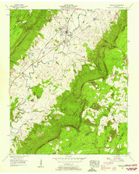
1956 Map of Pikeville
USGS Topo · Published 1958About this map
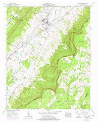
The town of Pikeville sits within the valley formed by the Sequatchie River, a corridor of settlement flanked by the Cumberland Plateau to the west and Walden Ridge to the east. This 1956 field examination by the Tennessee Valley Authority reveals a landscape of family-named landmarks and rural institutions, including Wesley Chapel and the Lincoln Sch. The terrain is defined by dramatic elevation changes along the Cumberland Escarpment, where gaps such as Rigsby Gap and Loyd Gap provide passage between the highland coves and the valley floor. Transportation is anchored by the Taft Highway and the Alvin C York Highway, while older routes like the St Louis and Nashville Road trace the earlier movement of people through the county. In the southern portion of the sheet, evidence of resource extraction appears near the Bledsoe and Rhea County line with a designated strip mine area.
Find a feature on this map
52 named features on this map. Tap any name to fly to it.
Don’t see what you’re looking for? This feature index may not catch every label — zoom into the map to look around manually.
Map Details
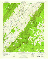
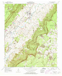
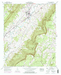
Editions of this 1956 Pikeville Map
5 editions found
Other maps of this area

1888 · Chattanooga
USGS Topo · 1:125,000

1892 · Pikeville
USGS Topo · 1:125,000

1893 · Chattanooga
USGS Topo · 1:125,000

1895 · Pikeville
USGS Topo · 1:125,000

1909 · Sequatchie Valley
USGS Topo · 1:62,500

1910 · Pikeville
USGS Topo · 1:62,500

1935 · Melvine
USGS Topo · 1:24,000

1935 · Morgan Springs
USGS Topo · 1:24,000

1935 · Brockdell
USGS Topo · 1:24,000

1935 · Billingsley Gap
USGS Topo · 1:24,000