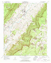
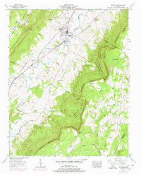
1956 Map of Pikeville
USGS Topo · Published 1974About this map
Pikeville sits at the heart of the Sequatchie Valley, serving as a hub for the surrounding agricultural and mountain landscape during the mid-1950s. The town's connectivity is defined by the St Louis and San Francisco RR and major thoroughfares such as the Alvin C York Highway and the William Howard Taft Highway. The topography is dominated by the dramatic rise of the Cumberland Escarpment, which separates the valley floor from the elevated Cumberland Plateau and Walden Ridge.
Find a feature on this map
47 named features on this map. Tap any name to fly to it.
Don’t see what you’re looking for? This feature index may not catch every label — zoom into the map to look around manually.
Map Details
Editions of this 1956 Pikeville Map
5 editions found
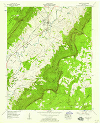
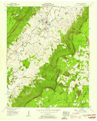
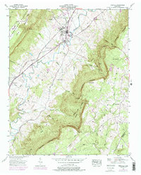
Other maps of this area

1888 · Chattanooga
USGS Topo · 1:125,000

1892 · Pikeville
USGS Topo · 1:125,000

1893 · Chattanooga
USGS Topo · 1:125,000

1895 · Pikeville
USGS Topo · 1:125,000

1909 · Sequatchie Valley
USGS Topo · 1:62,500

1910 · Pikeville
USGS Topo · 1:62,500

1935 · Melvine
USGS Topo · 1:24,000

1935 · Morgan Springs
USGS Topo · 1:24,000

1935 · Brockdell
USGS Topo · 1:24,000

1935 · Billingsley Gap
USGS Topo · 1:24,000