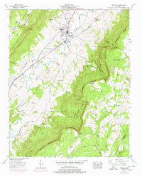
1956 Map of Pikeville
USGS Topo · Published 1978About this map
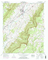
Pikeville serves as the central hub of this mid-century landscape, situated where the Sequatchie Valley floor meets the dramatic rise of the Cumberland Escarpment. The settlement pattern reflects the area's complex topography, with schools and community centers like Lincoln Sch and the Athletic field concentrated in the valley, while family cemeteries such as McReynolds Cem and Henson Cem are scattered across the surrounding slopes. Transportation is defined by the Louisville and Nashville railroad and the convergence of the Alvin C York Highway and William Howard Taft Highway. Beyond the valley floor, the map details the transition to Walden Ridge and the Cumberland Plateau, where natural features like Crystal Falls and Rigsby Gap highlight the steep changes in elevation. Evidence of local industry appears in the form of a Strip mine, marking the interaction between the area's natural resources and its mid-20th-century economy.
Find a feature on this map
55 named features on this map. Tap any name to fly to it.
Don’t see what you’re looking for? This feature index may not catch every label — zoom into the map to look around manually.
Map Details
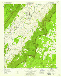
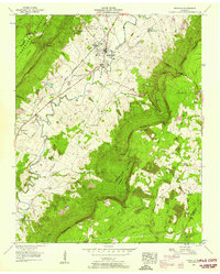
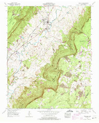
Editions of this 1956 Pikeville Map
5 editions found
Other maps of this area

1888 · Chattanooga
USGS Topo · 1:125,000

1892 · Pikeville
USGS Topo · 1:125,000

1893 · Chattanooga
USGS Topo · 1:125,000

1895 · Pikeville
USGS Topo · 1:125,000

1909 · Sequatchie Valley
USGS Topo · 1:62,500

1910 · Pikeville
USGS Topo · 1:62,500

1935 · Melvine
USGS Topo · 1:24,000

1935 · Morgan Springs
USGS Topo · 1:24,000

1935 · Brockdell
USGS Topo · 1:24,000

1935 · Billingsley Gap
USGS Topo · 1:24,000