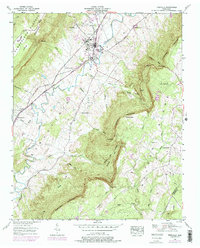
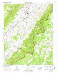
1956 Map of Pikeville
USGS Topo · Published 1978About this map
Pikeville sits at the heart of the Sequatchie Valley, bounded by the massive elevations of the Cumberland Escarpment and Walden Ridge. The 1950s landscape is defined by the Sequatchie River and the Louisville and Nashville Railroad, which parallel each other through the valley floor. Settlement is concentrated along the Taft Howard William Highway and Valley Road, where local genealogy is anchored by numerous family cemeteries like Hensen Cem and McReynolds Cem.
Find a feature on this map
61 named features on this map. Tap any name to fly to it.
Don’t see what you’re looking for? This feature index may not catch every label — zoom into the map to look around manually.
Map Details
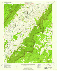
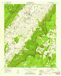
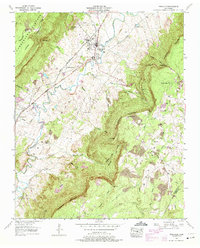
Editions of this 1956 Pikeville Map
5 editions found
Other maps of this area

1888 · Chattanooga
USGS Topo · 1:125,000

1892 · Pikeville
USGS Topo · 1:125,000

1893 · Chattanooga
USGS Topo · 1:125,000

1895 · Pikeville
USGS Topo · 1:125,000

1909 · Sequatchie Valley
USGS Topo · 1:62,500

1910 · Pikeville
USGS Topo · 1:62,500

1935 · Melvine
USGS Topo · 1:24,000

1935 · Morgan Springs
USGS Topo · 1:24,000

1935 · Brockdell
USGS Topo · 1:24,000

1935 · Billingsley Gap
USGS Topo · 1:24,000