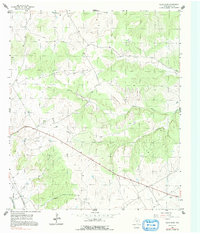
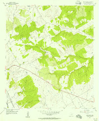
1955 Map of Pilot Knob
USGS Topo · Published 1991About this map
Cedron Creek and its tributaries carve through the central Bosque County landscape as captured in this mid-1950s survey. The area is defined by a series of branching waterways, including Toms Branch and Stanifer Branch, which drain toward the Bosque River in the south. The small settlement of Oswald sits in the southeast corner of the quadrangle, serving as a rare point of organized habitation in a terrain largely dedicated to grazing or undeveloped lands.
Find a feature on this map
9 named features on this map. Tap any name to fly to it.
Don’t see what you’re looking for? This feature index may not catch every label — zoom into the map to look around manually.
Map Details
Editions of this 1955 Pilot Knob Map
2 editions found
Other maps of this area

1888 · Meridian
USGS Topo · 1:125,000

1889 · Granbury
USGS Topo · 1:125,000

1891 · Cleburne
USGS Topo · 1:125,000

1892 · Waco
USGS Topo · 1:125,000

1894 · Meridian
USGS Topo · 1:125,000

1894 · Cleburne
USGS Topo · 1:125,000

1920 · Waco
USGS Topo · 1:125,000

1924 · Waco 2-b
USGS Topo · 1:48,000

1924 · Cleburne 3-C
USGS Topo · 1:48,000

1927 · Blum
USGS Topo · 1:62,500