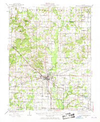
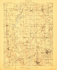
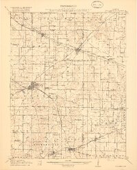
1924 Map of Pinckneyville
USGS Topo · Published 1969About this map
Pinckneyville serves as the central hub for Perry County in the early 1920s, defined by its role at the junction of the Illinois Central Railroad and the Wabash Chester and Western Railroad. The surrounding rural landscape is a dense network of one-room schoolhouses and country churches, including Nation School, Brush Prairie School, and Oak Grove Church. This map captures a significant period of coal mining development, with the Victory Coal Mine and Jewel Mine No 2 operating near the eastern edge of the quadrangle.
Find a feature on this map
68 named features on this map. Tap any name to fly to it.
Don’t see what you’re looking for? This feature index may not catch every label — zoom into the map to look around manually.
Map Details
Editions of this 1924 Pinckneyville Map
2 editions found
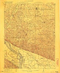
Other maps of this area
1910 · Herrin
USGS Topo · 1:62,500
1910 · Murphysboro
USGS Topo · 1:62,500

1910 · Okawville
USGS Topo · 1:62,500

1914 · Coulterville
USGS Topo · 1:62,500
1916 · Campbell Hill
USGS Topo · 1:62,500
1917 · Coulterville
USGS Topo · 1:62,500
1918 · Campbell Hill
USGS Topo · 1:62,500
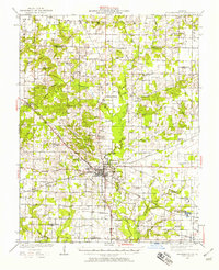
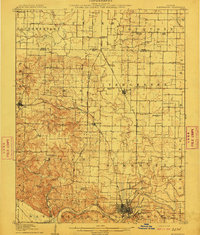
1924 · Pinckneyville
USGS Topo · 1:62,500
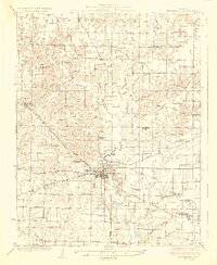
1926 · Pinckneyville
USGS Topo · 1:62,500

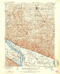
1926 · Duquoin
USGS Topo · 1:62,500