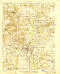
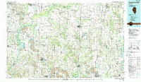
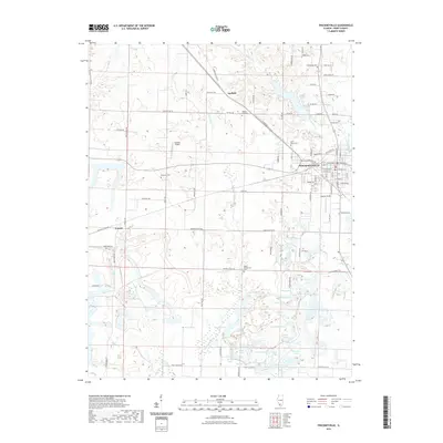
1926 Map of Pinckneyville
USGS Topo · Published 1926About this map
Pinckneyville serves as the central hub of this mid-1920s Perry County landscape, where the confluence of the Illinois Central, Mobile and Ohio, and Wabash Chester and Western railroads underscores the town's importance as a regional transportation node. The map reveals a transition into a more industrial era, specifically through the presence of coal operations like the Panther Mine and Jewel Mine No 2, situated alongside long-standing rural institutions.
Find a feature on this map
64 named features on this map. Tap any name to fly to it.
Don’t see what you’re looking for? This feature index may not catch every label — zoom into the map to look around manually.
Map Details
Editions of this 1926 Pinckneyville Map
2 editions found
Historical Maps of Du Quoin Through Time
9 maps found
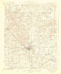
1924 Pinckneyville
Perry County, IL
1926 Pinckneyville
Perry County, IL
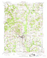
1974 Pinckneyville
Perry County, IL
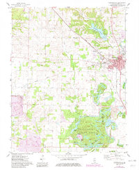
1985 Pinckneyville
Perry County, IL
2012 Pinckneyville
Perry County, IL
2015 Pinckneyville
Perry County, IL
2018 Pinckneyville
Perry County, IL
2021 Pinckneyville
Perry County, IL
2024 Pinckneyville
Perry County, IL