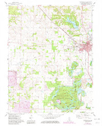
1974 Map of Pinckneyville
USGS Topo · Published 1982About this map
The heavy industrial footprint of Perry County coal mining dominates this 1974 survey, where expansive strip mined areas and reclaimed strip mines have permanently altered the terrain. South of the city of Pinckneyville, a complex of man-made water bodies including Clear Lake, Beehive Lake, and Lost Lake now occupies former excavations within Pyramid State Park. This landscape of recovery contrasts with the established urban grid of the county seat, where the Courthouse, St Bruno School, and High School serve the local community.
Find a feature on this map
64 named features on this map. Tap any name to fly to it.
Don’t see what you’re looking for? This feature index may not catch every label — zoom into the map to look around manually.
Map Details
Editions of this 1974 Pinckneyville Map
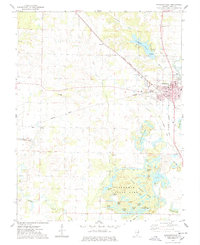
2 editions found
Other maps of this area

1910 · Murphysboro
USGS Topo · 1:62,500

1914 · Coulterville
USGS Topo · 1:62,500

1916 · Campbell Hill
USGS Topo · 1:62,500

1917 · Coulterville
USGS Topo · 1:62,500

1918 · Campbell Hill
USGS Topo · 1:62,500

1924 · Pinckneyville
USGS Topo · 1:62,500

1926 · Pinckneyville
USGS Topo · 1:62,500

1938 · Murphysboro
USGS Topo · 1:62,500

1949 · Paducah
USGS Topo · 1:250,000

1950 · Paducah
USGS Topo · 1:250,000