
1915 Map of Pine
USGS Topo · Published 1915About this map
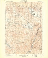
Gold and mineral extraction shape the landscape of this 1915 survey, centered on the rugged territory where the Powder River meets the Snake River. Significant mining activity is documented at the Sanger Mine in the north and the Poorman Mine near Bald Mtn, while the southern reaches show the Oregon-Washington Railroad and Navigation Line hugging the riverbanks. The map captures established mountain communities like Halfway and Richland, alongside isolated outposts such as Ritchies Ranch and the settlement of Sardipie. Local civic life is evidenced by the distribution of country schools, including the Pleasant Ridge School and Sunnyside School. Regional transport relies on key crossings like the Black Bridge and a ferry near Robinette, facilitating movement between the Minam National Forest and the Idaho border during a period of intense resource development.
Find a feature on this map
107 named features on this map. Tap any name to fly to it.
Don’t see what you’re looking for? This feature index may not catch every label — zoom into the map to look around manually.
Map Details
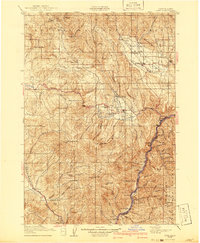
Editions of this 1915 Pine Map
3 editions found
Other maps of this area

1897 · Weiser
USGS Topo · 1:125,000

1901 · Baker City
USGS Topo · 1:125,000

1906 · Telocaset
USGS Topo · 1:125,000

1951 · Huntington
USGS Topo · 1:62,500

1952 · Olds Ferry NW
USGS Topo · 1:24,000

1952 · Olds Ferry
USGS Topo · 1:62,500

1953 · Mann Creek
USGS Topo · 1:62,500

1954 · Cornucopia
USGS Topo · 1:62,500

1954 · Eagle Cap
USGS Topo · 1:62,500

1955 · Baker
USGS Topo · 1:250,000