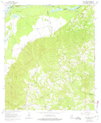
1963 Map of Pine Ridge
USGS Topo · Published 1976About this map
Mississippi River bottomlands and the rugged bluffs of Adams County define this 1963 survey, where the landscape transitions from the fertile alluvium of Mercer Island to a dissected upland of ridges and bayous. The map documents a rural network of small communities and family landmarks, including the settlements of Pine Ridge and Anna. The interior is characterized by a high density of country churches and private burial grounds, such as Painters Cem, Daughters of Zion Ch, and the Drake-Magruder Cem, providing significant detail for genealogical research in this part of Mississippi.
Find a feature on this map
44 named features on this map. Tap any name to fly to it.
Don’t see what you’re looking for? This feature index may not catch every label — zoom into the map to look around manually.
Map Details
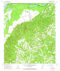
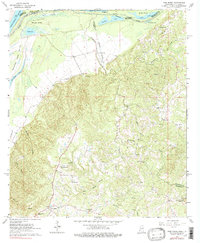
Editions of this 1963 Pine Ridge Map
3 editions found
Other maps of this area

1909 · Vidalia
USGS Topo · 1:24,000

1921 · Natchez
USGS Topo · 1:48,000

1922 · Natchez
USGS Topo · 1:62,500

1939 · Lorman
USGS Topo · 1:62,500

1939 · Natchez
USGS Topo · 1:62,500

1939 · Locust Ridge
USGS Topo · 1:62,500

1953 · Natchez
USGS Topo · 1:250,000

1956 · Natchez
USGS Topo · 1:250,000

1958 · St. Joseph
USGS Topo · 1:62,500

1959 · Natchez
USGS Topo · 1:250,000