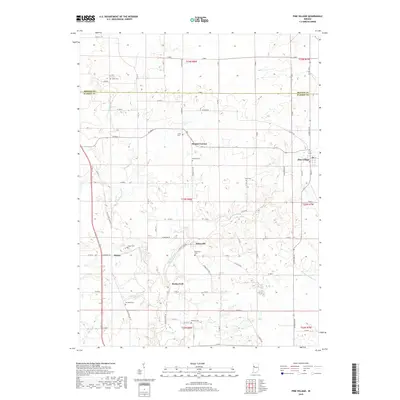
2019 Map of Pine Village
USGS Topo · Published 2019About this map
Big Pine Creek and its tributary Mud Pine Creek define the agricultural landscape of northern Warren County, Indiana. This area, largely comprised of well-organized farmland partitioned by a strict grid of section roads like W 800 S and N 100 E, is anchored by the small settlements of Pine Village and Rainsville. The map reveals a high density of small family and community burial grounds, including Smith Cem, Jones Cem, and Hooker Cem, which offer significant value for genealogical research in this part of the state. Settlement patterns remain focused around historic crossroads like Hooker Corner and Rocky Ford, where the local road network interacts with the winding paths of Spring Br and W Fork Kickapoo Cr. The transition between Benton and Warren counties is clearly marked, showing how these administrative boundaries intersect with the natural drainage of the Pine Creek watershed.
Find a feature on this map
77 named features on this map. Tap any name to fly to it.
Don’t see what you’re looking for? This feature index may not catch every label — zoom into the map to look around manually.
Map Details
Editions of this 2019 Pine Village Map
This is the sole edition of this map. No revisions or reprints were ever made.
Other maps of this area

1953 · Danville
USGS Topo · 1:250,000

1955 · Danville
USGS Topo · 1:250,000

1956 · Danville
USGS Topo · 1:250,000

1961 · Chatterton
USGS Topo · 1:24,000

1961 · Tab
USGS Topo · 1:24,000

1961 · Pine Village
USGS Topo · 1:24,000

1961 · West Lebanon
USGS Topo · 1:24,000

1962 · Templeton
USGS Topo · 1:24,000

1962 · Boswell
USGS Topo · 1:24,000

1962 · Williamsport
USGS Topo · 1:24,000