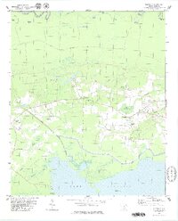
1979 Map of Pineville
USGS Topo · Published 1979About this map
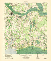
The Site of Francis Marion Tomb Cem marks a significant historical point in this Berkeley County landscape, which transitions from the northern flow of the Santee River to the vast waters of Lake Moultrie in the south. The village of Pineville serves as a central hub, surrounded by a dense network of country churches including Messiah Ch, Redeemer Ch, and Day Dawn Ch.
Find a feature on this map
47 named features on this map. Tap any name to fly to it.
Don’t see what you’re looking for? This feature index may not catch every label — zoom into the map to look around manually.
Map Details
Editions of this 1979 Pineville Map
2 editions found

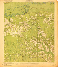
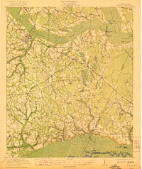
Other maps of this area

1920 · Chicora
USGS Topo · 1:48,000

1920 · Manning
USGS Topo · 1:48,000
1921 · Chicora
USGS Topo · 1:62,500
1921 · Manning
USGS Topo · 1:62,500

1943 · Chicora
USGS Topo · 1:62,500
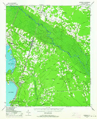
1943 · Bonneau
USGS Topo · 1:62,500
1944 · Manning
USGS Topo · 1:62,500

1946 · Kingstree
USGS Topo · 1:62,500

1949 · Georgetown
USGS Topo · 1:250,000

1954 · Augusta
USGS Topo · 1:250,000